UN/LOCODE hub · Ukraine
UARNI

Reni

45.4167°, 28.2833°
18,530
Population
2
Transport functions

Transport Functions

Port
Rail
Reni is also a profiled seaport →
UN/LOCODE

Hub Profile

Place type
Provincial seat
GeoNames
Region
Odesa
GeoNames
Population
18,530
GeoNames
Time zone
Europe/Kyiv
GeoNames
Elevation
24 m
GeoNames

Location

Location of UARNI
Natural Earth 10m (public domain) · Odesa · UARNI · 45.42, 28.28GoogleOSMYandex

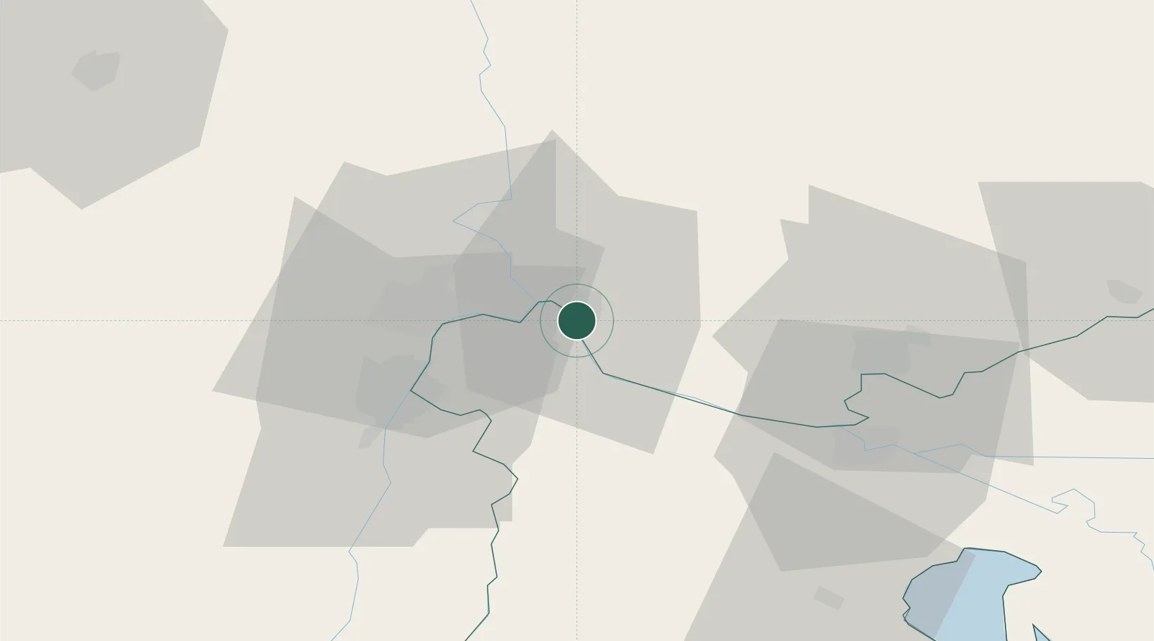
Nearby Logistics Neighbours

Cities
  1. 1Giurgiulesti10 km
  2. 2Galati18 km
  3. 3Macin21 km
  4. 4Isaccea22 km
  5. 5Braila29 km
Nearest neighbours — logibook spatial index (haversine) over the source coordinates
Ports
  1. 1Galati16 km
  2. 2Braila30 km
  3. 3Izmayil45 km
  4. 4Tulcea50 km
  5. 5Ust-Dunaisk111 km
Nearest neighbours — logibook spatial index (haversine) over the source coordinates
Airports
  1. 1Zhovtneve Air Base39 km
  2. 2Cahul International Airport48 km
  3. 3Tulcea Danube Delta Airport52 km
  4. 4Boboc Air Base104 km
  5. 5Mihail Kogălniceanu International Airport118 km
Nearest neighbours — logibook spatial index (haversine) over the source coordinates
Trade Zones
  1. 1Reni Special Economic Zone3 km
  2. 2Giurgiulesti International Free Port8 km
  3. 3Free zone Brăila29 km
  4. 4Free Enterprise Zone - Production Park Taraclia61 km
  5. 5Free Zone Galați97 km
Nearest neighbours — logibook spatial index (haversine) over the source coordinates
DatabookThe Record of Consolidated Knowledge
Ukraine beyond logistics?
Browse databook

All Sources

LocationsUN/LOCODE
UN/LOCODE — free
LocationsGeoNames
CC BY 4.0
Portsthe NGA World Port Index
Public domain (US gov)
AirportsOurAirports
Public domain
Trade Zonesthe World Bank SEZ database
CC BY 4.0
Trade ZonesOpen Zone Map
CC BY
← Ukraine locations