Transport Functions
Port
Hub Profile
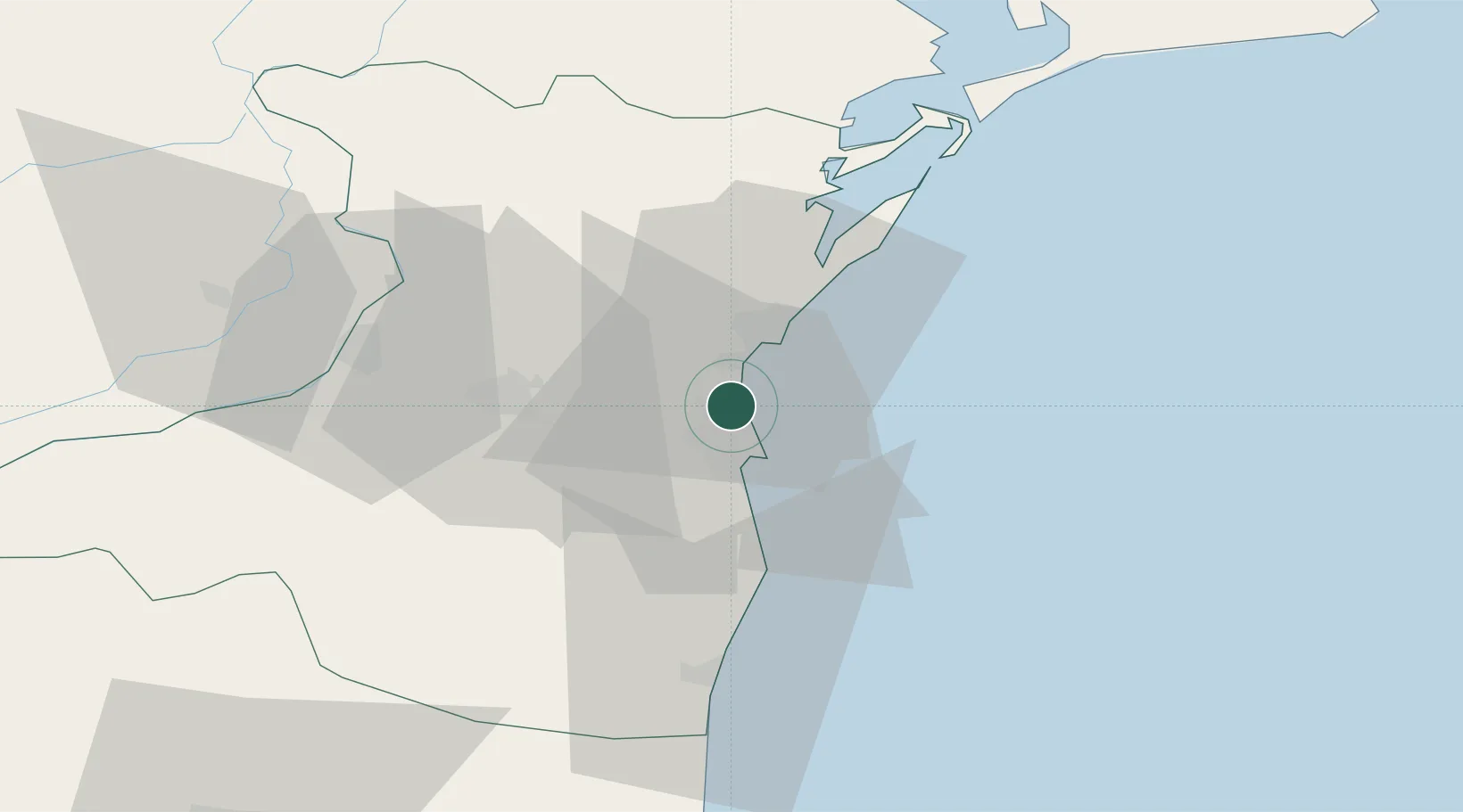
Place type
Populated place
Region
Constanța County
Population
55
Time zone
Europe/Bucharest
Elevation
13 m
Location
Nearby Logistics Neighbours
Airports
- 1Mihail Kogălniceanu International Airport16 km
- 2Feteşti Borcea Air Base73 km
- 3Tulcea Danube Delta Airport91 km
- 4Balchik Airfield98 km
- 5Varna Airport130 km
Trade Zones
- 1Free Zone Constanō£a Sud si Basarabi27 km
- 2Free zone Brăila125 km
- 3Free Zone Sulina128 km
- 4Reni Special Economic Zone135 km
- 5Giurgiulesti International Free Port139 km
DatabookThe Record of Consolidated Knowledge
Romania beyond logistics?