Transport Functions
Port
Hub Profile
Place type
Provincial seat
Region
Constanța County
Population
13,257
Time zone
Europe/Bucharest
Elevation
22 m
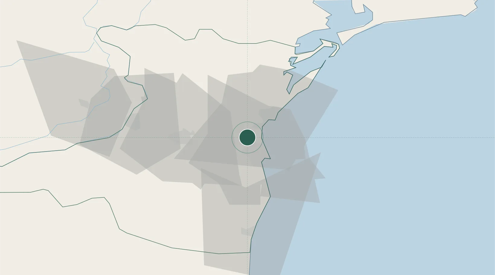
Location
Nearby Logistics Neighbours
Cities
- 1Lumina4 km
- 2Luminita4 km
- 3Midia8 km
- 4Navodari8 km
- 5Poarta Alba14 km
Airports
- 1Mihail Kogălniceanu International Airport12 km
- 2Feteşti Borcea Air Base68 km
- 3Tulcea Danube Delta Airport89 km
- 4Balchik Airfield99 km
- 5Varna Airport130 km
Trade Zones
- 1Free Zone Constanō£a Sud si Basarabi26 km
- 2Free zone Brăila121 km
- 3Free Zone Sulina129 km
- 4Reni Special Economic Zone133 km
- 5Giurgiulesti International Free Port137 km
DatabookThe Record of Consolidated Knowledge
Romania beyond logistics?