Transport Functions
Rail
Road
Hub Profile
Region
SB
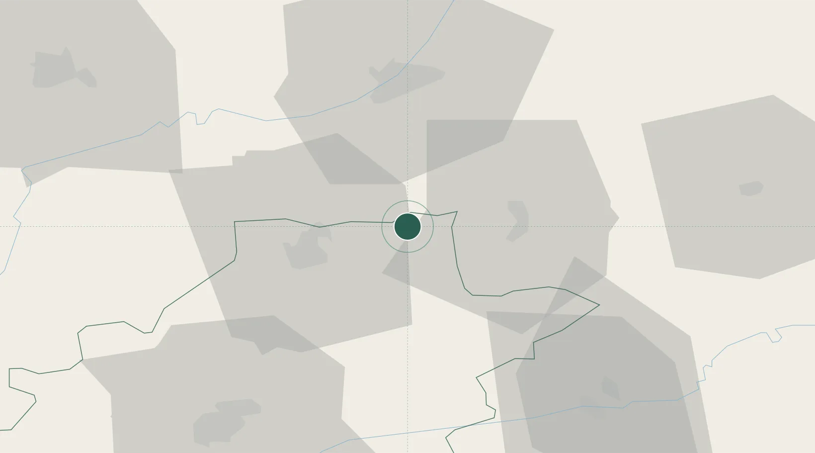
Location
Nearby Logistics Neighbours
Cities
- 1Sighisoara18 km
- 2Albesti22 km
- 3Acatari28 km
- 4Nazna34 km
- 5Livezeni36 km
Airports
Trade Zones
- 1VGP Park Sibiu63 km
- 2VGP Park Brasov99 km
- 3Free Zone Galați214 km
- 4VGP Park Buharest North224 km
- 5Free Zone Curtici Arad253 km
DatabookThe Record of Consolidated Knowledge
Romania beyond logistics?