Transport Functions
Rail
Road
Hub Profile
Place type
Provincial seat
Region
Constanța County
Population
7,168
Time zone
Europe/Bucharest
Elevation
11 m
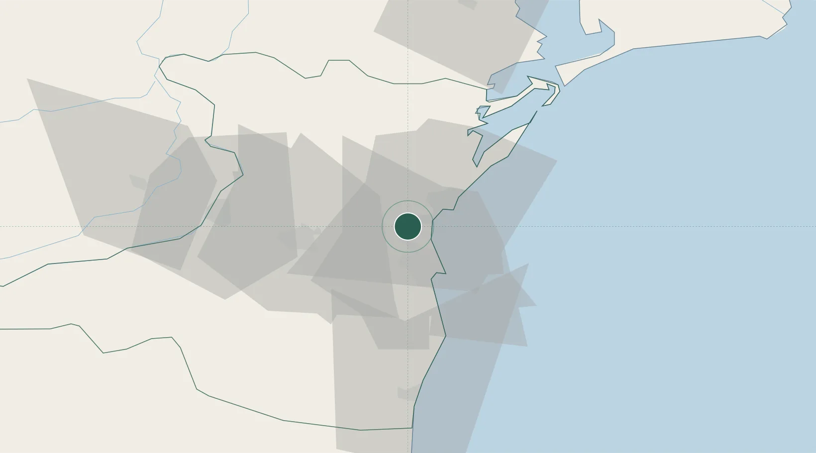
Location
Nearby Logistics Neighbours
Cities
- 1Ovidiu4 km
- 2Midia5 km
- 3Navodari5 km
- 4Luminita7 km
- 5Poarta Alba16 km
Airports
- 1Mihail Kogălniceanu International Airport9 km
- 2Feteşti Borcea Air Base68 km
- 3Tulcea Danube Delta Airport86 km
- 4Balchik Airfield102 km
- 5Varna Airport133 km
Trade Zones
- 1Free Zone Constanō£a Sud si Basarabi29 km
- 2Free zone Brăila118 km
- 3Free Zone Sulina126 km
- 4Reni Special Economic Zone129 km
- 5Giurgiulesti International Free Port133 km
DatabookThe Record of Consolidated Knowledge
Romania beyond logistics?