Transport Functions
Rail
Road
Hub Profile
Region
AG
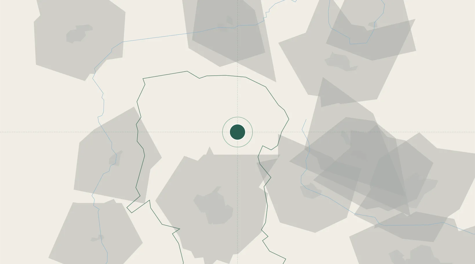
Location
Nearby Logistics Neighbours
Cities
- 1Campulung Muscel1 km
- 2Stalpeni27 km
- 3Fieni32 km
- 4Bezdead39 km
- 5Sinaia40 km
Airports
Trade Zones
- 1VGP Park Brasov59 km
- 2VGP Park Sibiu96 km
- 3VGP Park Buharest North113 km
- 4Free Zone Galați156 km
- 5Free Zone Giurgiu169 km
DatabookThe Record of Consolidated Knowledge
Romania beyond logistics?