UN/LOCODE hub · Paraguay
PYVFL
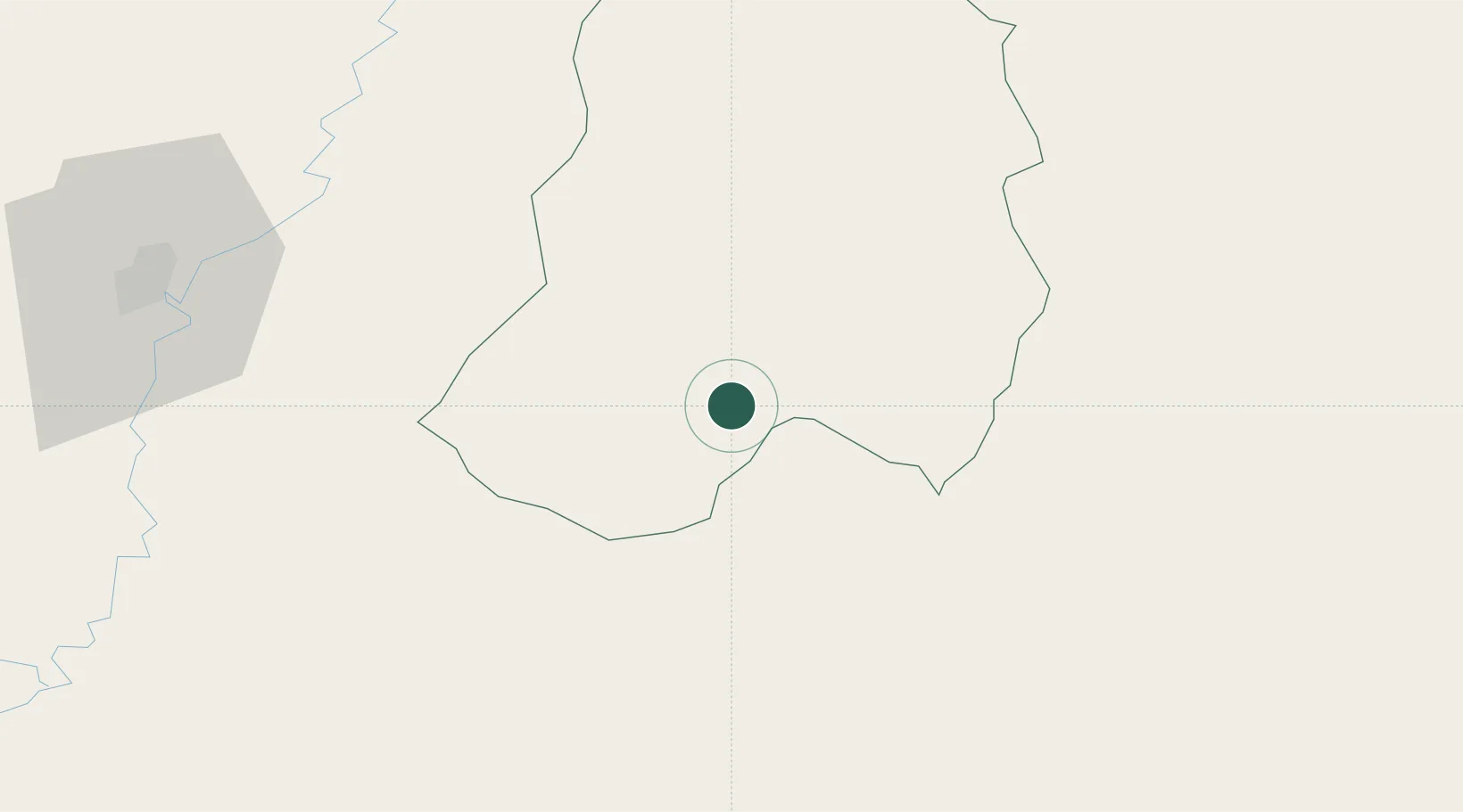
Villa Florida
-26.3833°, -57.1500°
2,305
Population
1
Transport functions
Transport Functions
Multimodal
Hub Profile
Place type
Populated place
Region
Misiones Department
Population
2,305
Time zone
America/Asuncion
Elevation
76 m
Location
Nearby Logistics Neighbours
Cities
- 1San Ygnacio55 km
- 2Iturbe76 km
- 3Villarrica100 km
- 4Villeta102 km
- 5San Pedro del Paraná107 km
Ports
- 1Puerto De Asuncion135 km
- 2Concordia564 km
- 3Colon656 km
- 4Paysandu666 km
- 5Parana678 km
Airports
Trade Zones
- 1Zona Franca Global263 km
- 2Zona Franca Internacional264 km
- 3Zona Franca Puerto Iguazu Free Trade Zone273 km
- 4Rivera Free Zone530 km
- 5ZPE de Bataguassú (MS)710 km
DatabookThe Record of Consolidated Knowledge
Paraguay beyond logistics?