UN/LOCODE hub · Paraguay
PYVLL
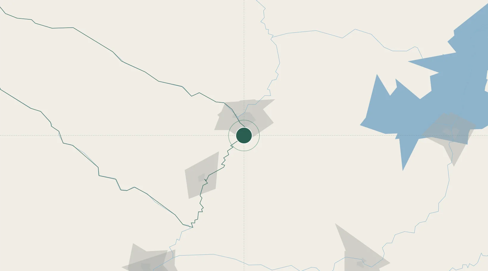
Villeta
-25.5558°, -57.5832°
1
Transport functions
3
Container terminals
Transport Functions
Port
Hub Profile
Place type
Populated place
Region
Central Department
Time zone
America/Asuncion
Elevation
78 m
Logistics facilities
3
Container terminals
3
Location
Nearby Logistics Neighbours
Cities
- 1Ypane13 km
- 2San Antonio13 km
- 3Puerto Sara15 km
- 4Terport (San Antonio)20 km
- 5Lambare24 km
Ports
- 1Puerto De Asuncion34 km
- 2Concordia651 km
- 3Colon743 km
- 4Santa Fe743 km
- 5Parana743 km
Airports
Trade Zones
- 1Zona Franca Global288 km
- 2Zona Franca Internacional289 km
- 3Zona Franca Puerto Iguazu Free Trade Zone303 km
- 4Rivera Free Zone631 km
- 5ZPE de Bataguassú (MS)680 km
DatabookThe Record of Consolidated Knowledge
Paraguay beyond logistics?