Transport Functions
Rail
Road
Hub Profile
Region
18
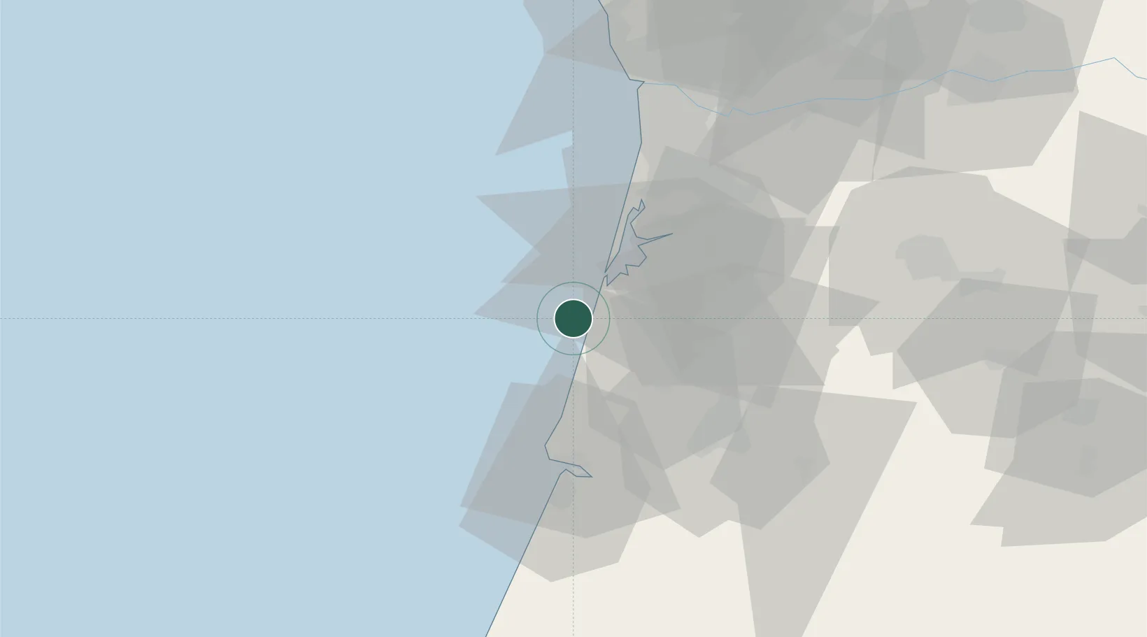
Location
Nearby Logistics Neighbours
Cities
- 1Vagueira7 km
- 2Gafanha da Nazaré15 km
- 3Cacia15 km
- 4Aveiro19 km
- 5Nariz20 km
Ports
- 1Aveiro20 km
- 2Figueira Da Foz43 km
- 3Oporto70 km
- 4Porto De Leixoes73 km
- 5Viana Do Castelo130 km
Airports
Trade Zones
- 1VGP Park Santa Maria da Feira50 km
- 2Zona Livre Tecnológica Masotinhos73 km
- 3Zona Franca de Vigo189 km
- 4Depósito Franco de La Coruña316 km
- 5Puerto de Huelva399 km
DatabookThe Record of Consolidated Knowledge
Portugal beyond logistics?