Transport Functions
Rail
Road
Multimodal
Hub Profile
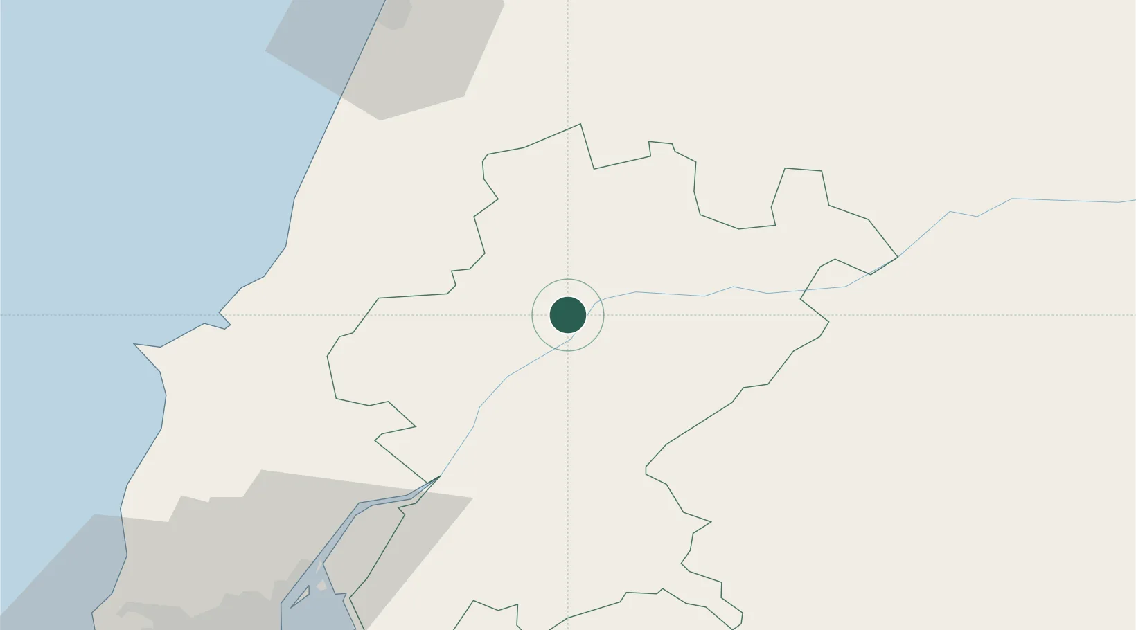
Place type
Populated place
Region
Santarém
Population
5,463
Time zone
Europe/Lisbon
Elevation
42 m
Logistics facilities
1
Location
Nearby Logistics Neighbours
Cities
- 1Entroncamento4 km
- 2Bugalhos13 km
- 3Madalena15 km
- 4Tomar20 km
- 5Tramagal21 km
Ports
- 1Figueira Da Foz85 km
- 2Lisboa100 km
- 3Setubal108 km
- 4Aveiro136 km
- 5Sines168 km
Airports
- 1Tancos Airbase12 km
- 2Aeródromo Municipal de Ponte de Sor45 km
- 3Monte Real Air Base55 km
- 4Alverca Air Base77 km
- 5Aerodromo Municipal de Coimbra81 km
Trade Zones
- 1VGP Park Santa Maria da Feira167 km
- 2Zona Livre Tecnológica Masotinhos194 km
- 3Puerto de Huelva277 km
- 4Zona Franca de Vigo311 km
- 5Zona Franca de Sevilla319 km
DatabookThe Record of Consolidated Knowledge
Portugal beyond logistics?