UN/LOCODE hub · Portugal
PTENT
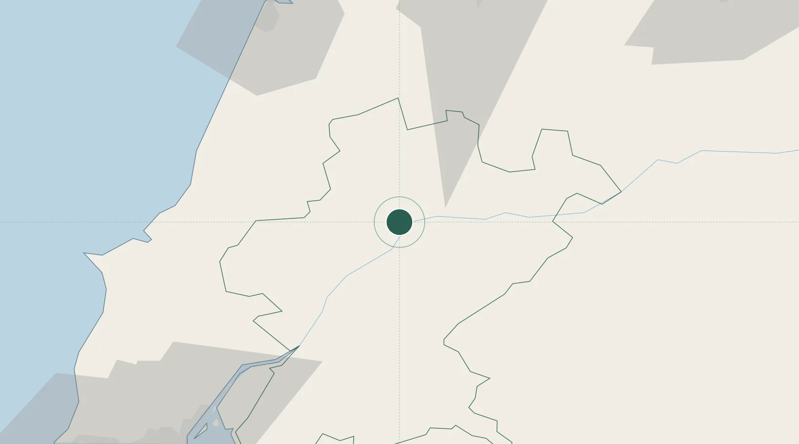
Entroncamento
39.4667°, -8.4667°
19,887
Population
2
Transport functions
Transport Functions
Rail
Road
Hub Profile
Place type
Provincial seat
Region
Santarém
Population
19,887
Time zone
Europe/Lisbon
Elevation
34 m
Location
Nearby Logistics Neighbours
Ports
- 1Figueira Da Foz83 km
- 2Lisboa105 km
- 3Setubal112 km
- 4Aveiro133 km
- 5Sines172 km
Airports
- 1Tancos Airbase9 km
- 2Aeródromo Municipal de Ponte de Sor45 km
- 3Monte Real Air Base54 km
- 4Aerodromo Municipal de Coimbra77 km
- 5Alverca Air Base81 km
Trade Zones
- 1VGP Park Santa Maria da Feira163 km
- 2Zona Livre Tecnológica Masotinhos191 km
- 3Puerto de Huelva278 km
- 4Zona Franca de Vigo308 km
- 5Zona Franca de Sevilla320 km
DatabookThe Record of Consolidated Knowledge
Portugal beyond logistics?