Transport Functions
Rail
Road
Airport
Hub Profile
Place type
Regional capital
Region
Coimbra
Population
140,796
Time zone
Europe/Lisbon
Elevation
59 m
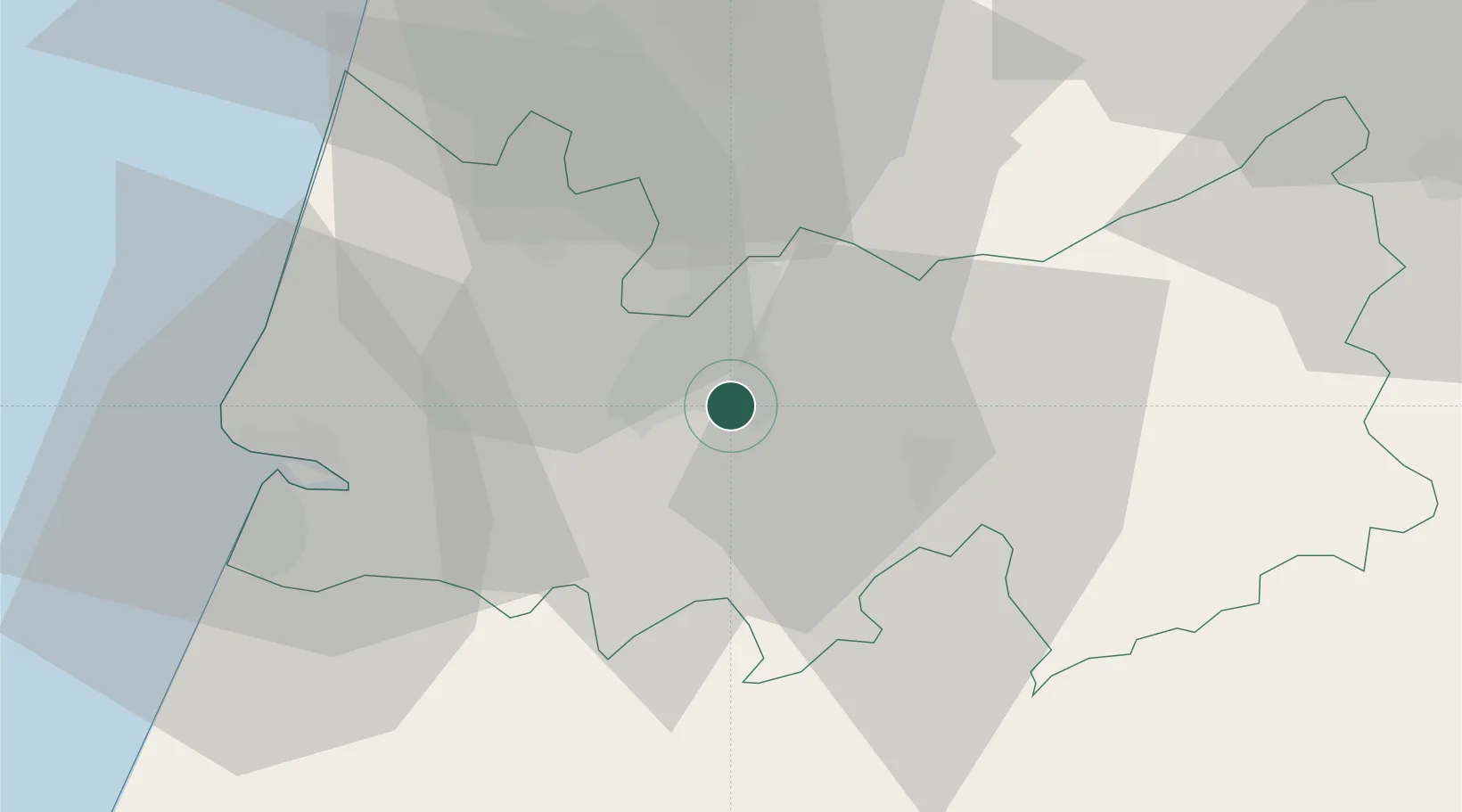
Location
Nearby Logistics Neighbours
Cities
- 1Cernache9 km
- 2Miranda do Corvo13 km
- 3Penacova14 km
- 4Murtede18 km
- 5Lousã18 km
Ports
- 1Figueira Da Foz37 km
- 2Aveiro54 km
- 3Oporto108 km
- 4Porto De Leixoes112 km
- 5Viana Do Castelo170 km
Airports
Trade Zones
- 1VGP Park Santa Maria da Feira82 km
- 2Zona Livre Tecnológica Masotinhos111 km
- 3Zona Franca de Vigo227 km
- 4Puerto de Huelva351 km
- 5Depósito Franco de La Coruña351 km
DatabookThe Record of Consolidated Knowledge
Portugal beyond logistics?