Transport Functions
Rail
Road
Hub Profile
Place type
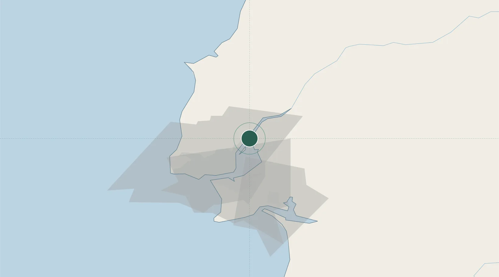
Populated place
Region
Lisbon
Population
4,453
Time zone
Europe/Lisbon
Elevation
46 m
Location
Nearby Logistics Neighbours
Cities
- 1Alverca2 km
- 2Vila Franca de Xira5 km
- 3Castanheira do Ribatejo9 km
- 4Póvoa de Santa Iria9 km
- 5Santa Iria de Azoia9 km
Ports
- 1Lisboa27 km
- 2Setubal46 km
- 3Sines108 km
- 4Figueira Da Foz138 km
- 5Aveiro195 km
Airports
- 1Alverca Air Base4 km
- 2Lisbon Humberto Delgado Airport18 km
- 3Montijo Air Base23 km
- 4Sintra Air Base30 km
- 5Cascais Airport36 km
Trade Zones
- 1VGP Park Santa Maria da Feira227 km
- 2Zona Livre Tecnológica Masotinhos253 km
- 3Puerto de Huelva258 km
- 4Zona Franca de Sevilla317 km
- 5Zona Franca de Cádiz362 km
DatabookThe Record of Consolidated Knowledge
Portugal beyond logistics?