UN/LOCODE hub · Portugal
PTPSI
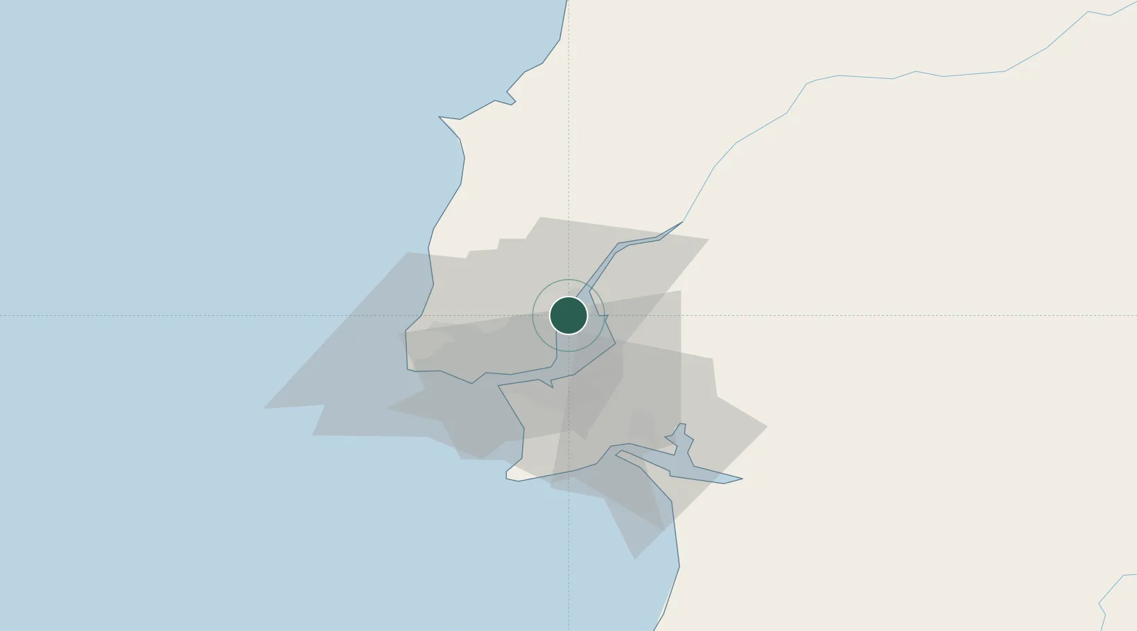
Póvoa de Santa Iria
38.8500°, -9.0667°
28,901
Population
2
Transport functions
Transport Functions
Rail
Road
Hub Profile
Place type
Populated place
Region
Lisbon
Population
28,901
Time zone
Europe/Lisbon
Elevation
18 m
Location
Nearby Logistics Neighbours
Cities
- 1Santa Iria de Azoia1 km
- 2Bobadela3 km
- 3Sao Juliao do Tojal6 km
- 4Alverca6 km
- 5Sacavém8 km
Ports
- 1Lisboa19 km
- 2Setubal40 km
- 3Sines102 km
- 4Figueira Da Foz146 km
- 5Lagos199 km
Airports
- 1Alverca Air Base5 km
- 2Lisbon Humberto Delgado Airport10 km
- 3Montijo Air Base16 km
- 4Sintra Air Base24 km
- 5Cascais Airport29 km
Trade Zones
- 1VGP Park Santa Maria da Feira235 km
- 2Puerto de Huelva256 km
- 3Zona Livre Tecnológica Masotinhos261 km
- 4Zona Franca de Sevilla317 km
- 5Zona Franca de Cádiz359 km
DatabookThe Record of Consolidated Knowledge
Portugal beyond logistics?