UN/LOCODE hub · Portugal
PTSIA

Santa Iria de Azoia

38.8500°, -9.0833°
2
Transport functions

Transport Functions

Rail
Road
UN/LOCODE

Hub Profile

Region
11
GeoNames

Location

Location of PTSIA
Natural Earth 10m (public domain) · 11 · PTSIA · 38.85, -9.08GoogleOSMYandex

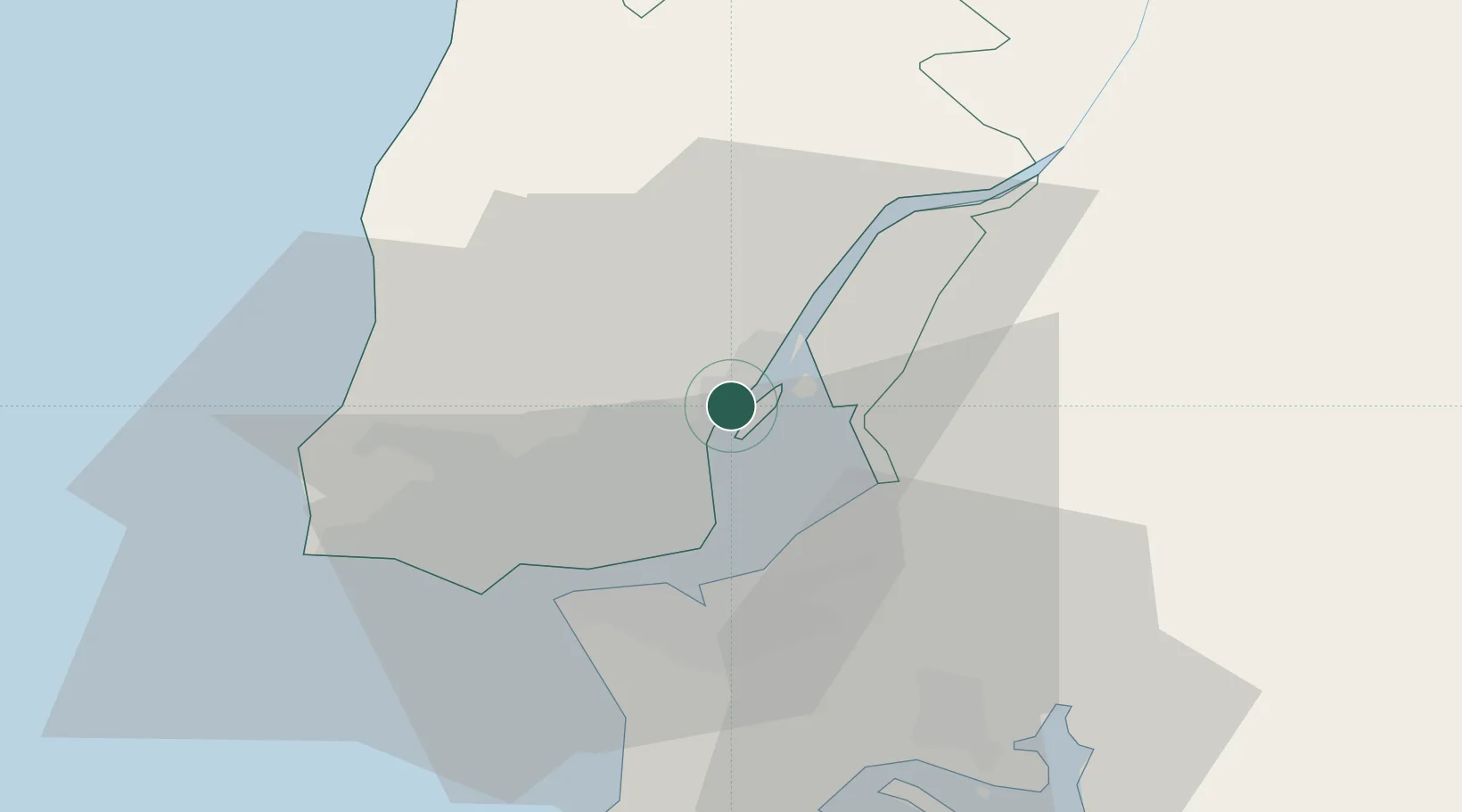
Nearby Logistics Neighbours

Cities
  1. 1Póvoa de Santa Iria1 km
  2. 2Bobadela2 km
  3. 3Sao Juliao do Tojal4 km
  4. 4Alverca7 km
  5. 5Camarate7 km
Nearest neighbours — logibook spatial index (haversine) over the source coordinates
Ports
  1. 1Lisboa18 km
  2. 2Setubal40 km
  3. 3Sines102 km
  4. 4Figueira Da Foz146 km
  5. 5Lagos199 km
Nearest neighbours — logibook spatial index (haversine) over the source coordinates
Airports
  1. 1Alverca Air Base6 km
  2. 2Lisbon Humberto Delgado Airport9 km
  3. 3Montijo Air Base16 km
  4. 4Sintra Air Base22 km
  5. 5Cascais Airport27 km
Nearest neighbours — logibook spatial index (haversine) over the source coordinates
Trade Zones
  1. 1VGP Park Santa Maria da Feira236 km
  2. 2Puerto de Huelva257 km
  3. 3Zona Livre Tecnológica Masotinhos261 km
  4. 4Zona Franca de Sevilla318 km
  5. 5Zona Franca de Cádiz360 km
Nearest neighbours — logibook spatial index (haversine) over the source coordinates
DatabookThe Record of Consolidated Knowledge
Portugal beyond logistics?
Browse databook

All Sources

LocationsUN/LOCODE
UN/LOCODE — free
Portsthe NGA World Port Index
Public domain (US gov)
AirportsOurAirports
Public domain
Trade Zonesthe World Bank SEZ database
CC BY 4.0
Trade ZonesOpen Zone Map
CC BY
← Portugal locations