UN/LOCODE hub · Portugal
PTCRI
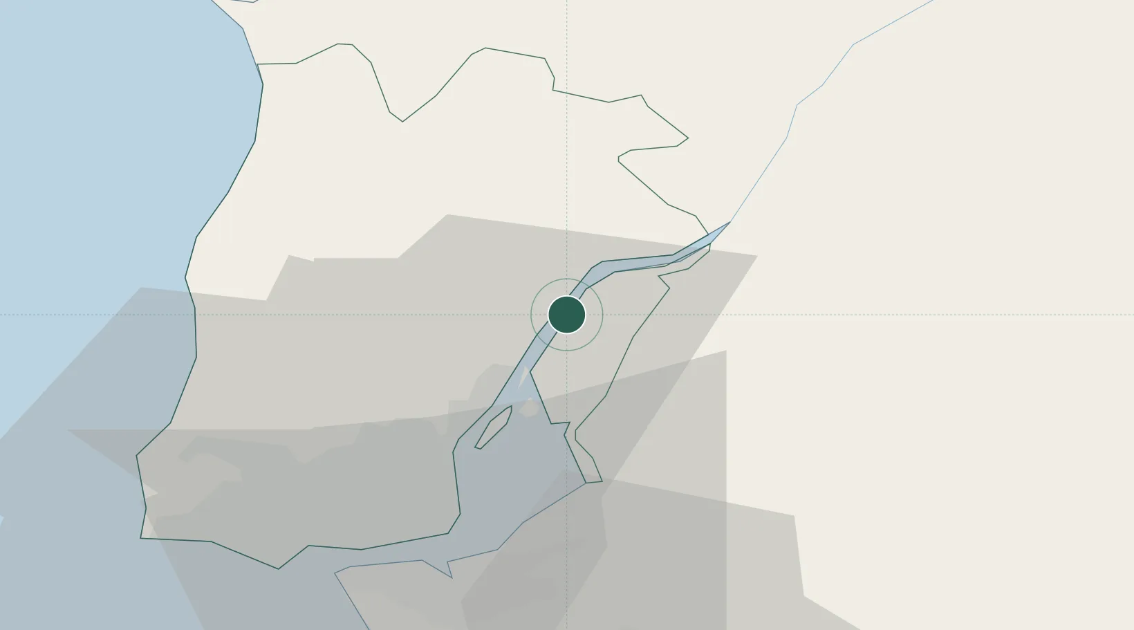
Castanheira do Ribatejo
38.9833°, -8.9667°
7,651
Population
2
Transport functions
Transport Functions
Rail
Road
Hub Profile
Place type
Populated place
Region
Lisbon
Population
7,651
Time zone
Europe/Lisbon
Elevation
22 m
Location
Nearby Logistics Neighbours
Cities
- 1Vila Franca de Xira4 km
- 2Vila Nova da Rainha6 km
- 3Sobralinho9 km
- 4Alverca11 km
- 5Azambuja13 km
Ports
- 1Lisboa36 km
- 2Setubal52 km
- 3Sines115 km
- 4Figueira Da Foz130 km
- 5Aveiro187 km
Airports
- 1Alverca Air Base12 km
- 2Lisbon Humberto Delgado Airport27 km
- 3Montijo Air Base31 km
- 4Sintra Air Base36 km
- 5Cascais Airport44 km
Trade Zones
- 1VGP Park Santa Maria da Feira219 km
- 2Zona Livre Tecnológica Masotinhos245 km
- 3Puerto de Huelva260 km
- 4Zona Franca de Sevilla318 km
- 5Zona Franca de Vigo361 km
DatabookThe Record of Consolidated Knowledge
Portugal beyond logistics?