UN/LOCODE hub · Portugal
PTMSV

Moscavide

38.7667°, -9.1000°
2
Transport functions

Transport Functions

Rail
Road
UN/LOCODE

Hub Profile

Region
11
GeoNames

Location

Location of PTMSV
Natural Earth 10m (public domain) · 11 · PTMSV · 38.77, -9.10GoogleOSMYandex

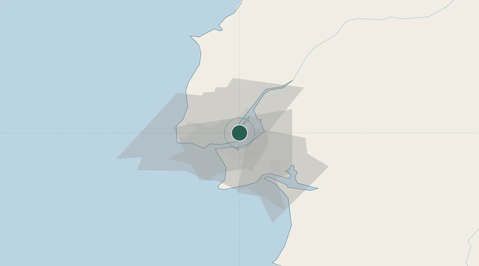
Nearby Logistics Neighbours

Cities
  1. 1Sacavém2 km
  2. 2Prior Velho2 km
  3. 3Lisboa3 km
  4. 4Camarate5 km
  5. 5Bobadela7 km
Nearest neighbours — logibook spatial index (haversine) over the source coordinates
Ports
  1. 1Lisboa9 km
  2. 2Setubal33 km
  3. 3Sines93 km
  4. 4Figueira Da Foz155 km
  5. 5Lagos190 km
Nearest neighbours — logibook spatial index (haversine) over the source coordinates
Airports
  1. 1Lisbon Humberto Delgado Airport4 km
  2. 2Montijo Air Base9 km
  3. 3Alverca Air Base14 km
  4. 4Sintra Air Base22 km
  5. 5Cascais Airport23 km
Nearest neighbours — logibook spatial index (haversine) over the source coordinates
Trade Zones
  1. 1VGP Park Santa Maria da Feira245 km
  2. 2Puerto de Huelva251 km
  3. 3Zona Livre Tecnológica Masotinhos270 km
  4. 4Zona Franca de Sevilla315 km
  5. 5Zona Franca de Cádiz355 km
Nearest neighbours — logibook spatial index (haversine) over the source coordinates
DatabookThe Record of Consolidated Knowledge
Portugal beyond logistics?
Browse databook

All Sources

LocationsUN/LOCODE
UN/LOCODE — free
Portsthe NGA World Port Index
Public domain (US gov)
AirportsOurAirports
Public domain
Trade Zonesthe World Bank SEZ database
CC BY 4.0
Trade ZonesOpen Zone Map
CC BY
← Portugal locations