Transport Functions
Rail
Road
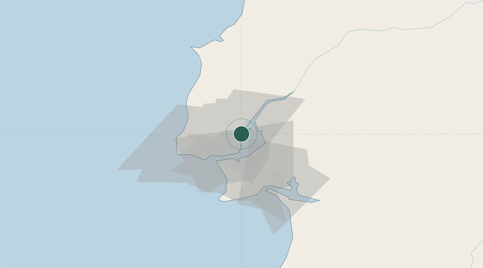
Hub Profile
Place type
Populated place
Region
Lisbon
Population
8,399
Time zone
Europe/Lisbon
Elevation
44 m
Logistics facilities
4
Location
Nearby Logistics Neighbours
Cities
- 1Santa Iria de Azoia2 km
- 2Póvoa de Santa Iria3 km
- 3Sao Juliao do Tojal4 km
- 4Camarate5 km
- 5Sacavém6 km
Ports
- 1Lisboa16 km
- 2Setubal39 km
- 3Sines100 km
- 4Figueira Da Foz148 km
- 5Lagos197 km
Airports
- 1Lisbon Humberto Delgado Airport7 km
- 2Alverca Air Base8 km
- 3Montijo Air Base15 km
- 4Sintra Air Base21 km
- 5Cascais Airport26 km
Trade Zones
- 1VGP Park Santa Maria da Feira238 km
- 2Puerto de Huelva256 km
- 3Zona Livre Tecnológica Masotinhos263 km
- 4Zona Franca de Sevilla318 km
- 5Zona Franca de Cádiz359 km
DatabookThe Record of Consolidated Knowledge
Portugal beyond logistics?