Transport Functions
Multimodal
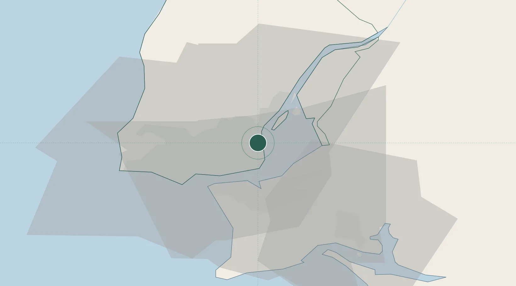
Hub Profile
Place type
Populated place
Region
Lisbon
Population
6,500
Time zone
Europe/Lisbon
Elevation
87 m
Location
Nearby Logistics Neighbours
Ports
- 1Lisboa10 km
- 2Setubal35 km
- 3Sines95 km
- 4Figueira Da Foz154 km
- 5Lagos192 km
Airports
- 1Lisbon Humberto Delgado Airport2 km
- 2Montijo Air Base11 km
- 3Alverca Air Base13 km
- 4Sintra Air Base20 km
- 5Cascais Airport22 km
Trade Zones
- 1VGP Park Santa Maria da Feira244 km
- 2Puerto de Huelva254 km
- 3Zona Livre Tecnológica Masotinhos269 km
- 4Zona Franca de Sevilla317 km
- 5Zona Franca de Cádiz357 km
DatabookThe Record of Consolidated Knowledge
Portugal beyond logistics?