Transport Functions
Rail
Road
Hub Profile
Place type
Provincial seat
Region
Coimbra
Population
7,347
Time zone
Europe/Lisbon
Elevation
63 m
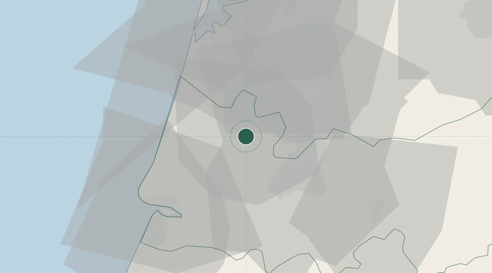
Location
Nearby Logistics Neighbours
Cities
- 1Senhora das Febres6 km
- 2Murtede9 km
- 3Mealhada13 km
- 4Amoreira da Gândara16 km
- 5Bustos17 km
Ports
- 1Figueira Da Foz31 km
- 2Aveiro34 km
- 3Oporto89 km
- 4Porto De Leixoes93 km
- 5Viana Do Castelo151 km
Airports
- 1Aerodromo Municipal de Coimbra24 km
- 2Monte Real Air Base63 km
- 3Ovar Air Base63 km
- 4Aerodromo Goncalves Lobato (Viseu Airport)73 km
- 5Tancos Airbase99 km
Trade Zones
- 1VGP Park Santa Maria da Feira65 km
- 2Zona Livre Tecnológica Masotinhos92 km
- 3Zona Franca de Vigo209 km
- 4Depósito Franco de La Coruña335 km
- 5Puerto de Huelva372 km
DatabookThe Record of Consolidated Knowledge
Portugal beyond logistics?