Transport Functions
Rail
Road
Hub Profile
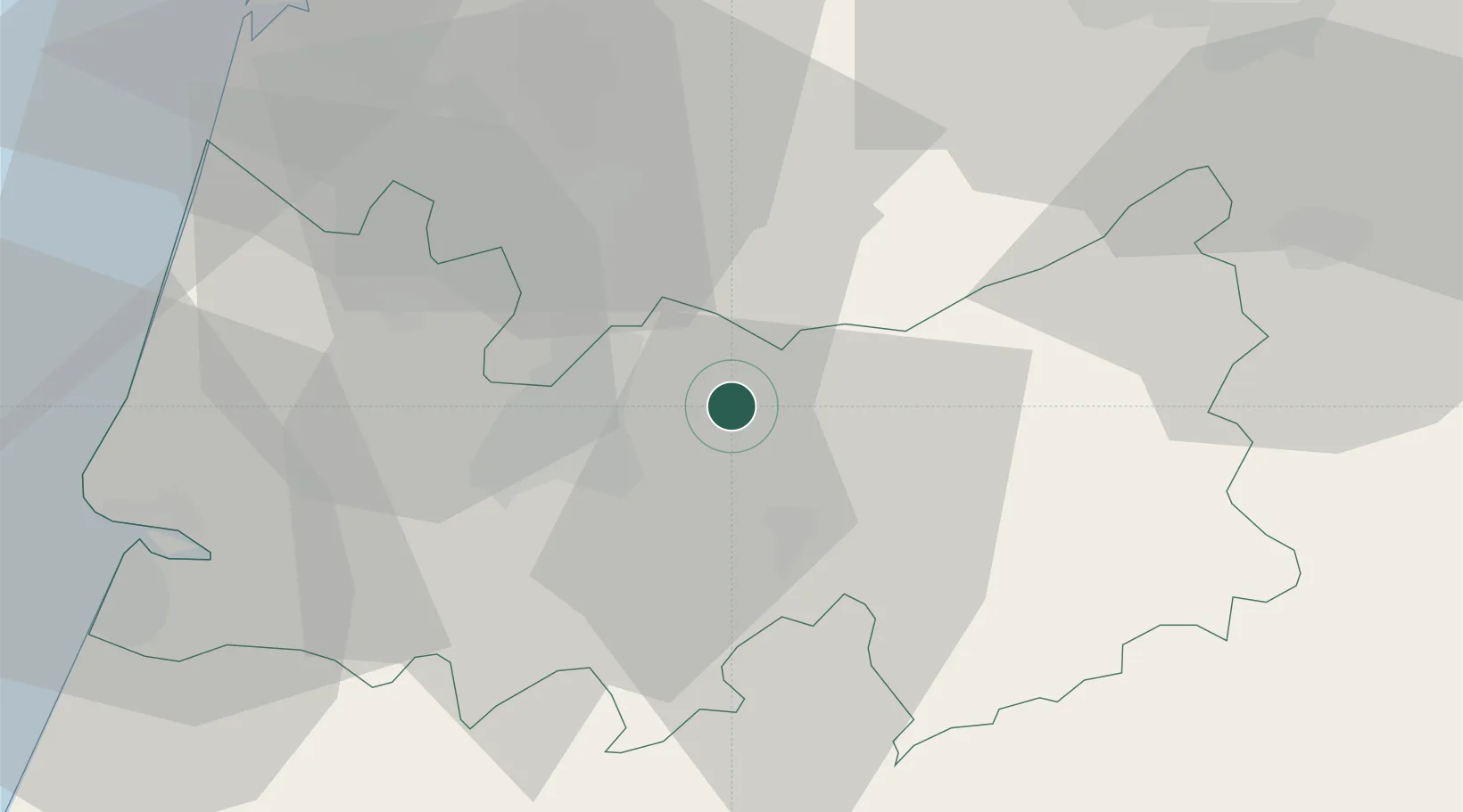
Place type
Provincial seat
Region
Coimbra
Population
3,254
Time zone
Europe/Lisbon
Elevation
143 m
Location
Nearby Logistics Neighbours
Cities
- 1Coimbra14 km
- 2Mortágua15 km
- 3Lousã17 km
- 4Mealhada18 km
- 5Miranda do Corvo19 km
Ports
- 1Figueira Da Foz50 km
- 2Aveiro53 km
- 3Oporto103 km
- 4Porto De Leixoes108 km
- 5Viana Do Castelo166 km
Airports
Trade Zones
- 1VGP Park Santa Maria da Feira78 km
- 2Zona Livre Tecnológica Masotinhos107 km
- 3Zona Franca de Vigo222 km
- 4Depósito Franco de La Coruña344 km
- 5Puerto de Huelva354 km
DatabookThe Record of Consolidated Knowledge
Portugal beyond logistics?