UN/LOCODE hub · Portugal
PTLAV
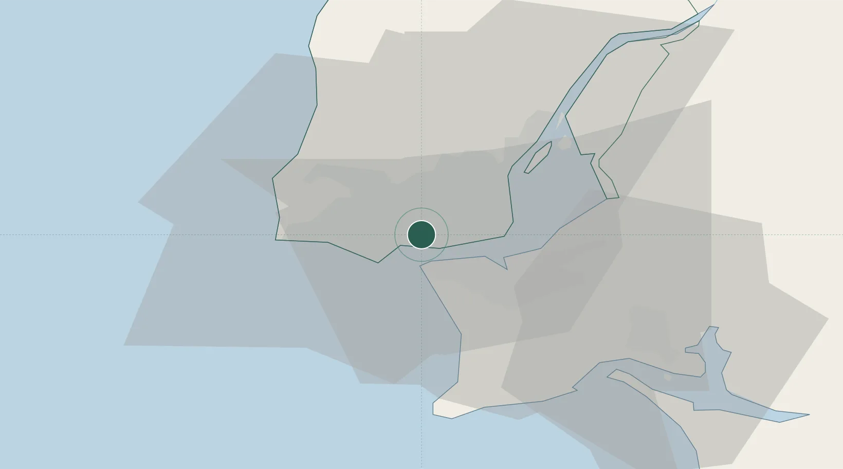
Linda-a-Velha
38.7167°, -9.2500°
20,895
Population
2
Transport functions
Transport Functions
Rail
Road
Hub Profile
Place type
Populated place
Region
Lisbon
Population
20,895
Time zone
Europe/Lisbon
Elevation
90 m
Location
Nearby Logistics Neighbours
Ports
- 1Lisboa8 km
- 2Setubal38 km
- 3Sines92 km
- 4Figueira Da Foz163 km
- 5Lagos188 km
Airports
- 1Cascais Airport9 km
- 2Lisbon Humberto Delgado Airport12 km
- 3Sintra Air Base15 km
- 4Montijo Air Base19 km
- 5Alverca Air Base27 km
Trade Zones
- 1VGP Park Santa Maria da Feira253 km
- 2Puerto de Huelva258 km
- 3Zona Livre Tecnológica Masotinhos278 km
- 4Zona Franca de Sevilla323 km
- 5Zona Franca de Cádiz360 km
DatabookThe Record of Consolidated Knowledge
Portugal beyond logistics?