Transport Functions
Rail
Road
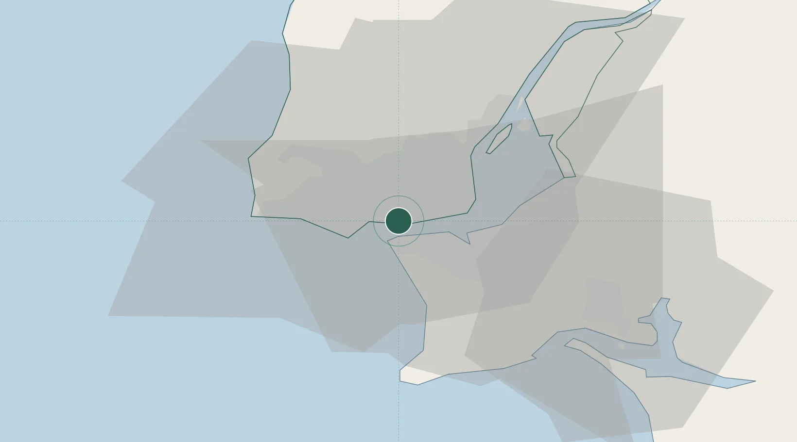
Hub Profile
Place type
Populated place
Region
Lisbon
Population
19,327
Time zone
Europe/Lisbon
Elevation
16 m
Location
Nearby Logistics Neighbours
Cities
- 1Carnaxide2 km
- 2Linda-a-Velha2 km
- 3Memória3 km
- 4Trafaria4 km
- 5Torrão4 km
Ports
- 1Lisboa6 km
- 2Setubal35 km
- 3Sines89 km
- 4Figueira Da Foz165 km
- 5Lagos186 km
Airports
- 1Cascais Airport11 km
- 2Lisbon Humberto Delgado Airport12 km
- 3Sintra Air Base17 km
- 4Montijo Air Base17 km
- 5Alverca Air Base27 km
Trade Zones
- 1VGP Park Santa Maria da Feira255 km
- 2Puerto de Huelva256 km
- 3Zona Livre Tecnológica Masotinhos279 km
- 4Zona Franca de Sevilla321 km
- 5Zona Franca de Cádiz358 km
DatabookThe Record of Consolidated Knowledge
Portugal beyond logistics?