Transport Functions
Rail
Road
Hub Profile
Place type
Populated place
Region
Coimbra
Time zone
Europe/Lisbon
Elevation
118 m
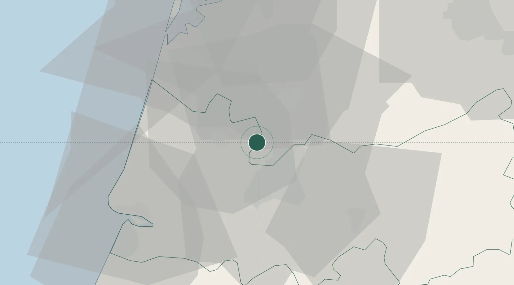
Location
Nearby Logistics Neighbours
Cities
- 1Mealhada5 km
- 2Cantanhede9 km
- 3Senhora das Febres13 km
- 4Amoreira da Gândara15 km
- 5Aguada de Baixo17 km
Ports
- 1Aveiro36 km
- 2Figueira Da Foz37 km
- 3Oporto90 km
- 4Porto De Leixoes94 km
- 5Viana Do Castelo153 km
Airports
- 1Aerodromo Municipal de Coimbra21 km
- 2Ovar Air Base64 km
- 3Aerodromo Goncalves Lobato (Viseu Airport)66 km
- 4Monte Real Air Base67 km
- 5Tancos Airbase98 km
Trade Zones
- 1VGP Park Santa Maria da Feira65 km
- 2Zona Livre Tecnológica Masotinhos93 km
- 3Zona Franca de Vigo210 km
- 4Depósito Franco de La Coruña335 km
- 5Puerto de Huelva369 km
DatabookThe Record of Consolidated Knowledge
Portugal beyond logistics?