Transport Functions
Road
Multimodal
Hub Profile
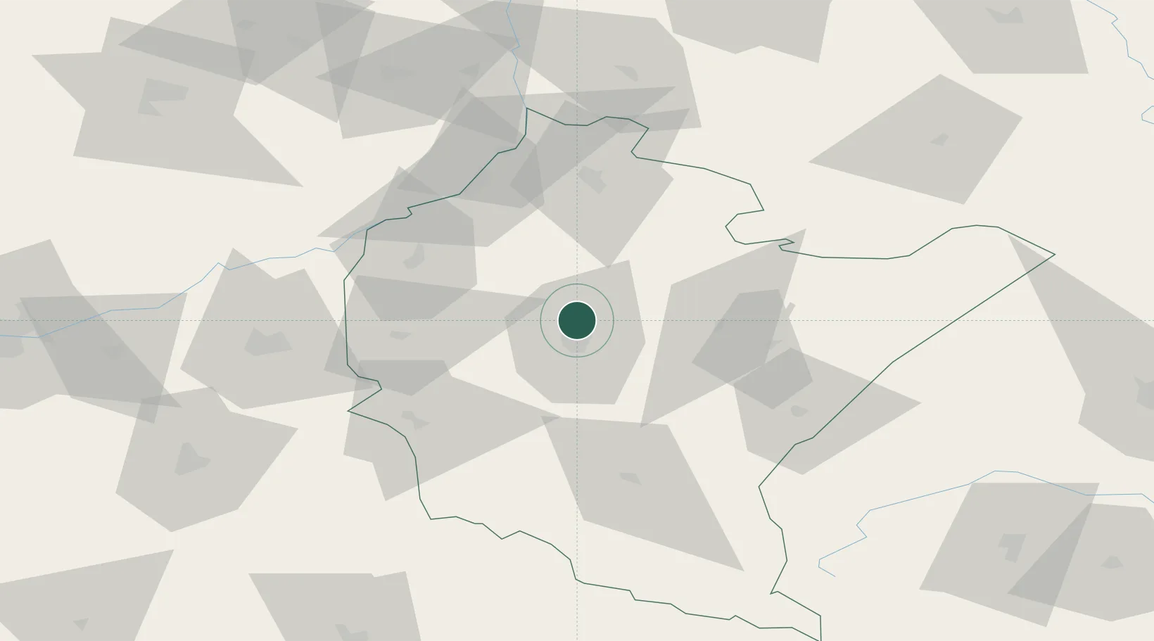
Place type
Populated place
Region
Subcarpathia
Time zone
Europe/Warsaw
Elevation
198 m
Location
Nearby Logistics Neighbours
Cities
- 1Rzeszów6 km
- 2Boguchwala16 km
- 3Lancut16 km
- 4Rakszawa18 km
- 5Iwierzyce20 km
Ports
- 1Kaliningrad522 km
- 2Baltiysk524 km
- 3Gdansk525 km
- 4Nowy Port531 km
- 5Gdynia546 km
Airports
- 1Rzeszów-Jasionka Airport1 km
- 2Lublin Airport136 km
- 3Lviv International Airport142 km
- 4Warsaw Radom Airport154 km
- 5Deblin Military Air Base162 km
Trade Zones
DatabookThe Record of Consolidated Knowledge
Poland beyond logistics?