Transport Functions
Road
Multimodal
Hub Profile
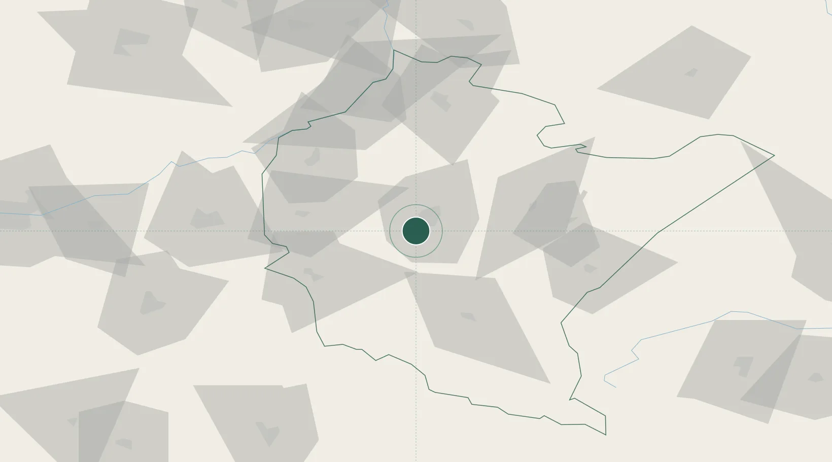
Place type
District seat
Region
Subcarpathia
Population
5,823
Time zone
Europe/Warsaw
Elevation
222 m
Location
Nearby Logistics Neighbours
Cities
- 1Rzeszów10 km
- 2Iwierzyce14 km
- 3Strzyzow16 km
- 4Zaczernie16 km
- 5Jawornik Polski19 km
Ports
- 1Kaliningrad536 km
- 2Gdansk536 km
- 3Baltiysk537 km
- 4Nowy Port543 km
- 5Gdynia558 km
Airports
- 1Rzeszów-Jasionka Airport17 km
- 2Lviv International Airport145 km
- 3Uzhhorod International Airport150 km
- 4Lublin Airport152 km
- 5Košice International Airport154 km
DatabookThe Record of Consolidated Knowledge
Poland beyond logistics?