Transport Functions
Rail
Road
Hub Profile
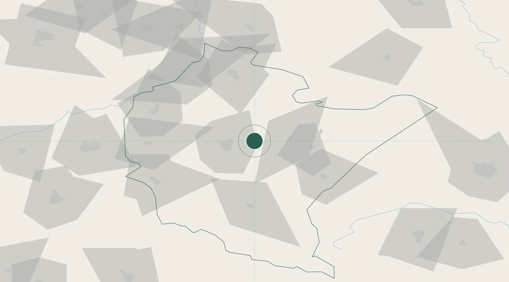
Place type
Provincial seat
Region
Subcarpathia
Population
18,266
Time zone
Europe/Warsaw
Elevation
231 m
Location
Nearby Logistics Neighbours
Ports
- 1Kaliningrad529 km
- 2Baltiysk532 km
- 3Gdansk535 km
- 4Nowy Port541 km
- 5Gdynia556 km
Airports
- 1Rzeszów-Jasionka Airport16 km
- 2Lviv International Airport127 km
- 3Lublin Airport135 km
- 4Uzhhorod International Airport159 km
- 5Warsaw Radom Airport164 km
DatabookThe Record of Consolidated Knowledge
Poland beyond logistics?