Transport Functions
Multimodal
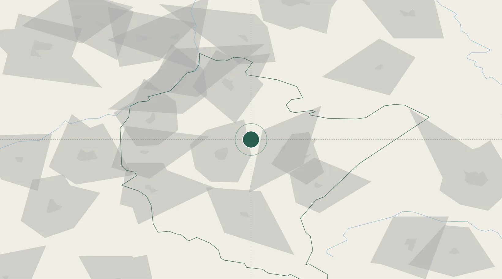
Hub Profile
Place type
District seat
Region
Subcarpathia
Population
6,894
Time zone
Europe/Warsaw
Elevation
215 m
Location
Nearby Logistics Neighbours
Cities
- 1Lancut9 km
- 2Zaczernie18 km
- 3Przeworsk20 km
- 4Rzeszów21 km
- 5Nowa Sarzyna21 km
Ports
- 1Kaliningrad520 km
- 2Baltiysk523 km
- 3Gdansk527 km
- 4Nowy Port533 km
- 5Gdynia548 km
Airports
- 1Rzeszów-Jasionka Airport17 km
- 2Lublin Airport126 km
- 3Lviv International Airport128 km
- 4Warsaw Radom Airport156 km
- 5Deblin Military Air Base158 km
Trade Zones
DatabookThe Record of Consolidated Knowledge
Poland beyond logistics?