Transport Functions
Port
Road
Multimodal
Hub Profile
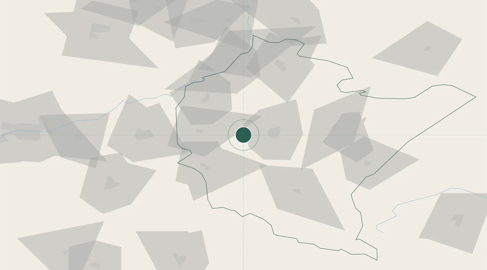
Place type
District seat
Region
Subcarpathia
Population
940
Time zone
Europe/Warsaw
Elevation
237 m
Location
Nearby Logistics Neighbours
Cities
- 1Boguchwala14 km
- 2Strzyzow17 km
- 3Rzeszów17 km
- 4Zaczernie20 km
- 5Pustków24 km
Ports
- 1Gdansk526 km
- 2Kaliningrad528 km
- 3Baltiysk529 km
- 4Nowy Port533 km
- 5Gdynia548 km
Airports
- 1Rzeszów-Jasionka Airport21 km
- 2Kraków John Paul II International Airport142 km
- 3Lublin Airport152 km
- 4Poprad-Tatry Airport152 km
- 5Košice International Airport155 km
Trade Zones
DatabookThe Record of Consolidated Knowledge
Poland beyond logistics?