Transport Functions
Rail
Road
Airport
Hub Profile
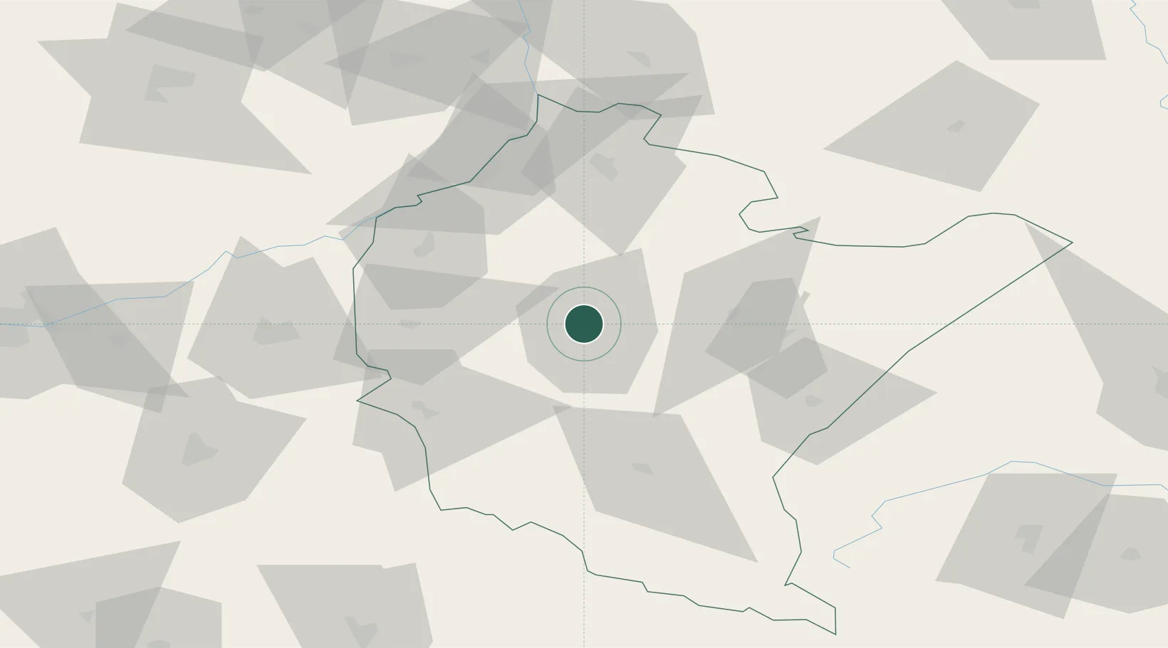
Place type
Regional capital
Region
Subcarpathia
Population
198,317
Time zone
Europe/Warsaw
Elevation
209 m
Location
Nearby Logistics Neighbours
Cities
- 1Zaczernie6 km
- 2Boguchwala10 km
- 3Lancut17 km
- 4Iwierzyce17 km
- 5Rakszawa21 km
Ports
- 1Kaliningrad527 km
- 2Baltiysk529 km
- 3Gdansk529 km
- 4Nowy Port536 km
- 5Gdynia551 km
Airports
- 1Rzeszów-Jasionka Airport7 km
- 2Lublin Airport142 km
- 3Lviv International Airport143 km
- 4Uzhhorod International Airport159 km
- 5Warsaw Radom Airport159 km
Trade Zones
DatabookThe Record of Consolidated Knowledge
Poland beyond logistics?