Transport Functions
Rail
Road
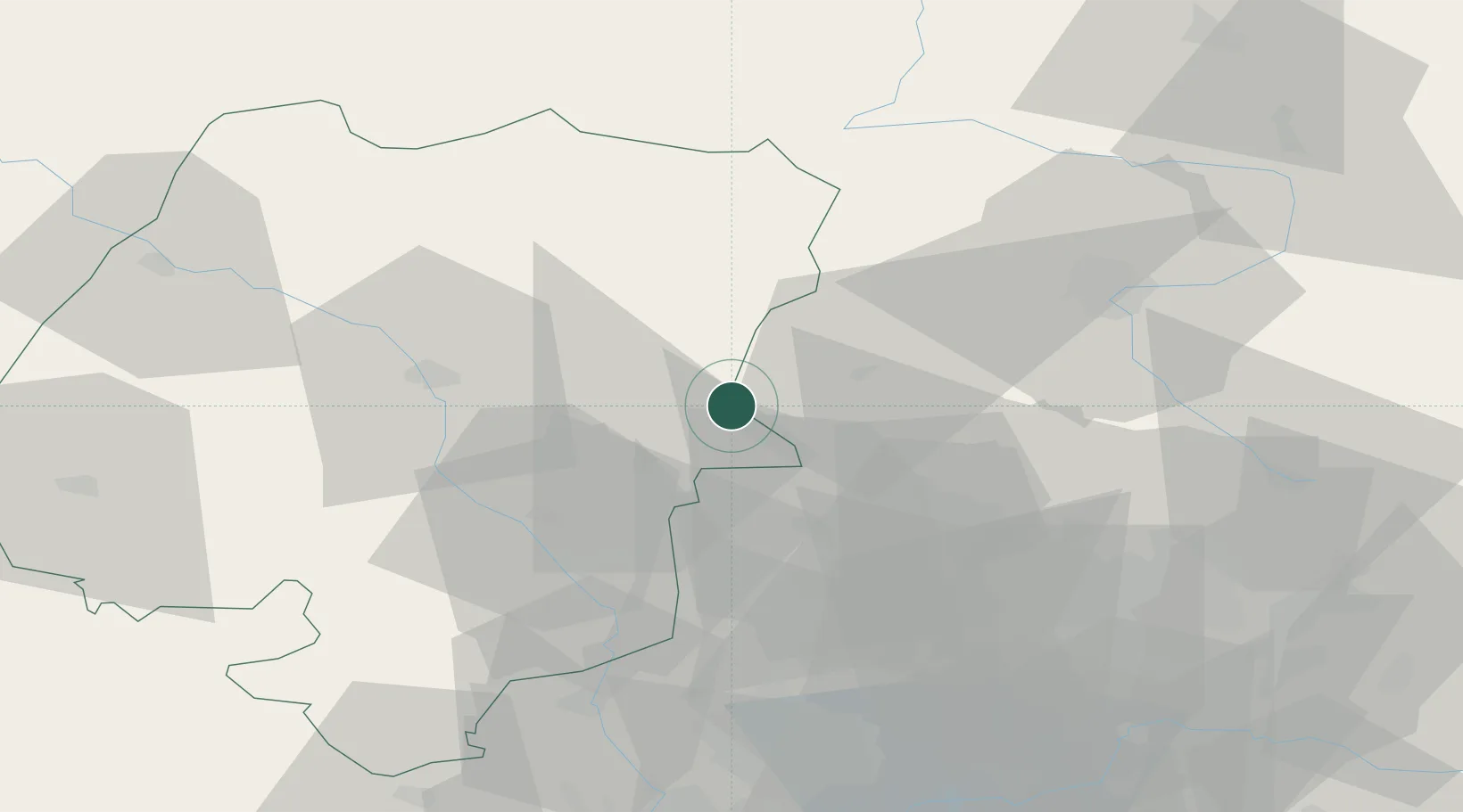
Hub Profile
Place type
District seat
Region
Opole Voivodeship
Population
8,439
Time zone
Europe/Warsaw
Elevation
212 m
Location
Nearby Logistics Neighbours
Cities
- 1Strzelce Opolskie16 km
- 2Ozimek19 km
- 3Zbroslawice29 km
- 4Olesno30 km
- 5Kalety31 km
Airports
Trade Zones
DatabookThe Record of Consolidated Knowledge
Poland beyond logistics?