UN/LOCODE hub · Poland
PLSTO
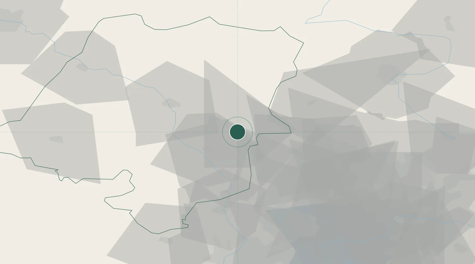
Strzelce Opolskie
50.5167°, 18.3000°
20,241
Population
2
Transport functions
Transport Functions
Rail
Road
Hub Profile
Place type
Provincial seat
Region
Opole Voivodeship
Population
20,241
Time zone
Europe/Warsaw
Elevation
236 m
Location
Nearby Logistics Neighbours
DatabookThe Record of Consolidated Knowledge
Poland beyond logistics?