Transport Functions
Rail
Road
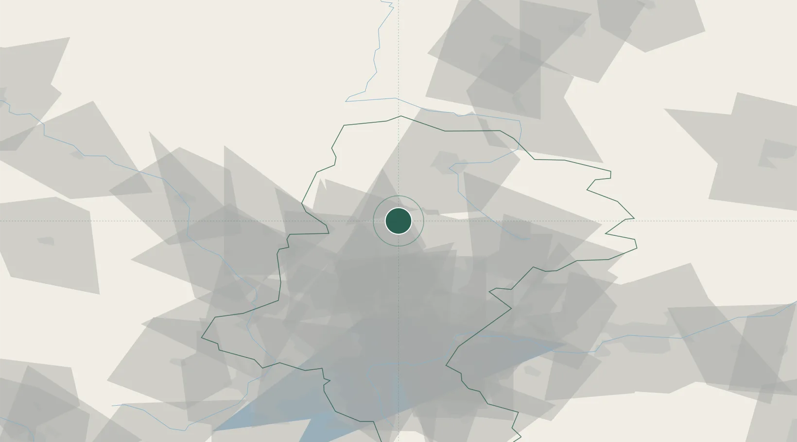
Hub Profile
Place type
District seat
Region
Silesia
Population
8,670
Time zone
Europe/Warsaw
Elevation
271 m
Location
Nearby Logistics Neighbours
Cities
- 1Miasteczko Slaskie10 km
- 2Radzionków17 km
- 3Zbroslawice23 km
- 4Poraj25 km
- 5Zawadzkie31 km
Airports
Trade Zones
DatabookThe Record of Consolidated Knowledge
Poland beyond logistics?