Transport Functions
Port
Hub Profile
Place type
Populated place
Region
Warmia-Masuria
Population
890
Time zone
Europe/Warsaw
Elevation
127 m
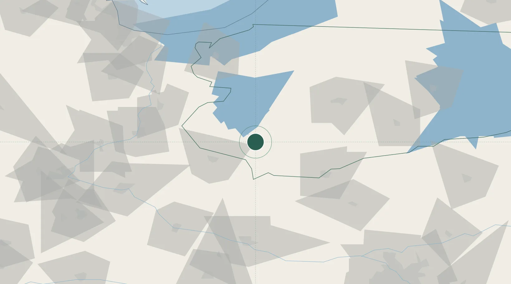
Location
Nearby Logistics Neighbours
Cities
- 1Mieslaczkowo23 km
- 2Kisielice39 km
- 3Jablonowo Pomorskie41 km
- 4Narzym41 km
- 5Ilowo44 km
Ports
- 1Gdansk126 km
- 2Nowy Port133 km
- 3Baltiysk136 km
- 4Gdynia148 km
- 5Kaliningrad150 km
Airports
Trade Zones
DatabookThe Record of Consolidated Knowledge
Poland beyond logistics?