Transport Functions
Rail
Road
Multimodal
Hub Profile
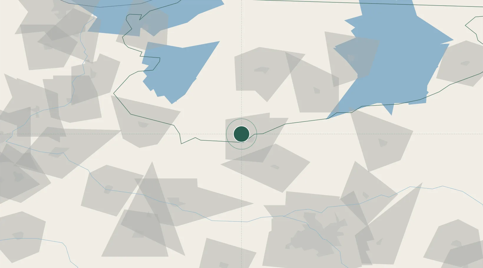
Place type
Populated place
Region
Warmia-Masuria
Time zone
Europe/Warsaw
Elevation
159 m
Location
Nearby Logistics Neighbours
Cities
- 1Narzym3 km
- 2Nidzica21 km
- 3Konotopa30 km
- 4Strzegowo-Osada32 km
- 5Chorzele41 km
Ports
- 1Baltiysk163 km
- 2Gdansk168 km
- 3Kaliningrad169 km
- 4Nowy Port174 km
- 5Gdynia189 km
Airports
- 1Olsztyn-Mazury Airport54 km
- 2Warsaw Modlin Airport85 km
- 3Malbork Królewo Air Base121 km
- 4Warsaw Chopin Airport122 km
- 5Inowroclaw Military Air Base138 km
Trade Zones
DatabookThe Record of Consolidated Knowledge
Poland beyond logistics?