UN/LOCODE hub · Poland
PLJBL
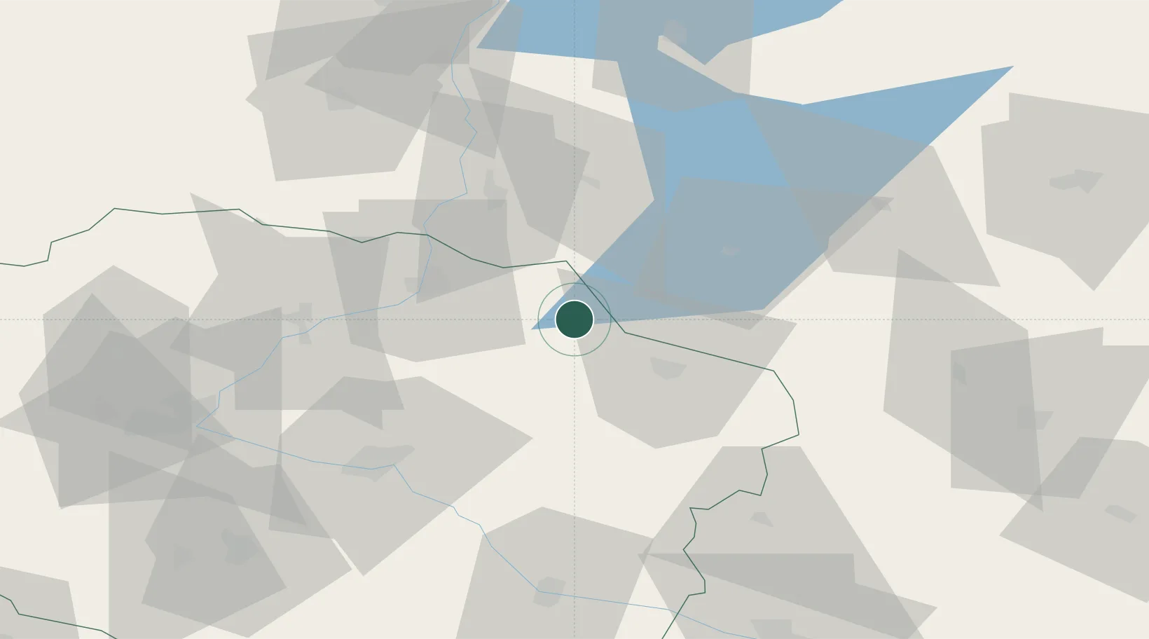
Jablonowo Pomorskie
53.4000°, 19.1500°
3,658
Population
2
Transport functions
Transport Functions
Rail
Road
Hub Profile
Place type
District seat
Region
Kujawsko-Pomorskie
Population
3,658
Time zone
Europe/Warsaw
Elevation
89 m
Location
Nearby Logistics Neighbours
Cities
- 1Kisielice24 km
- 2Kowalewo Pomorskie32 km
- 3Golub-Dobrzyn34 km
- 4Mieslaczkowo35 km
- 5Nowe38 km
Ports
- 1Gdansk110 km
- 2Nowy Port117 km
- 3Gdynia132 km
- 4Baltiysk146 km
- 5Kaliningrad169 km
Airports
Trade Zones
DatabookThe Record of Consolidated Knowledge
Poland beyond logistics?