Medium airport · Poland
Ignacy Jan Paderewski Bydgoszcz AirportEPBY
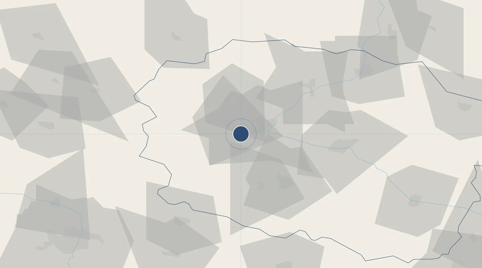
53.0968°, 17.9777°
8,202 ft
Longest runway
1
Runways
235 ft
Elevation
Runway & Layout

Radio Frequencies
TWR
131 MHz
BYDGOSZCZ TWR
INFO
128.5 MHz
Navaids
S NDB Bydgoszcz 109 kHz
SL NDB Bydgoszcz 534 kHz
Runways · 1
| Runway | Dimensions | Surface | True heading | Lit |
|---|---|---|---|---|
| 08/26 | 8,202 × 196ft | Concrete | 082° | ✓ |
Airport Specifications
IATA code
BZG
ICAO code
EPBY
Airport class
Medium airport
Scheduled service
Yes
Runway surface
Concrete
Served city
Bydgoszcz
Location
Nearby Logistics Neighbours
Airports
- 1Inowroclaw Military Air Base38 km
- 2Powidz Military Air Base80 km
- 3Poznań-Ławica Airport108 km
- 4Krzesiny Military Air Base109 km
- 5Malbork Królewo Air Base129 km
Cities
- 1Biale Blota3 km
- 2Bydgoszcz6 km
- 3Nowa Wies Wielka16 km
- 4Labiszyn17 km
- 5Ostromecko17 km
Trade Zones
- 1Pomeranian SEZ (Pomorska SSE)134 km
- 2Gdansk Port Duty Free Zone152 km
- 3Słupsk SEZ (Słupska SSE)164 km
- 4Łódź SEZ (ōódzka SSE)181 km
- 5Szczecin Duty Free Zone229 km
DatabookThe Record of Consolidated Knowledge
Poland beyond logistics?