Transport Functions
Rail
Road
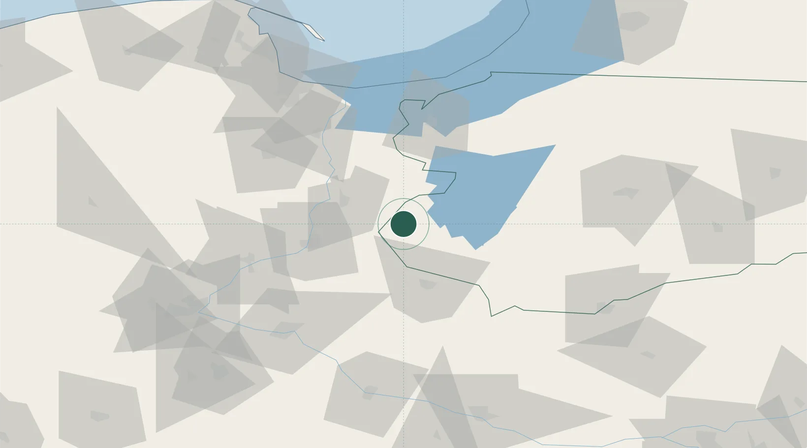
Hub Profile
Place type
District seat
Region
Warmia-Masuria
Population
2,234
Time zone
Europe/Warsaw
Elevation
94 m
Location
Nearby Logistics Neighbours
Cities
- 1Jablonowo Pomorskie24 km
- 2Nowe35 km
- 3Grodziczno39 km
- 4Loza45 km
- 5Mieslaczkowo46 km
Ports
- 1Gdansk92 km
- 2Nowy Port99 km
- 3Gdynia114 km
- 4Baltiysk122 km
- 5Kaliningrad146 km
Airports
Trade Zones
DatabookThe Record of Consolidated Knowledge
Poland beyond logistics?