Transport Functions
Rail
Road
Hub Profile
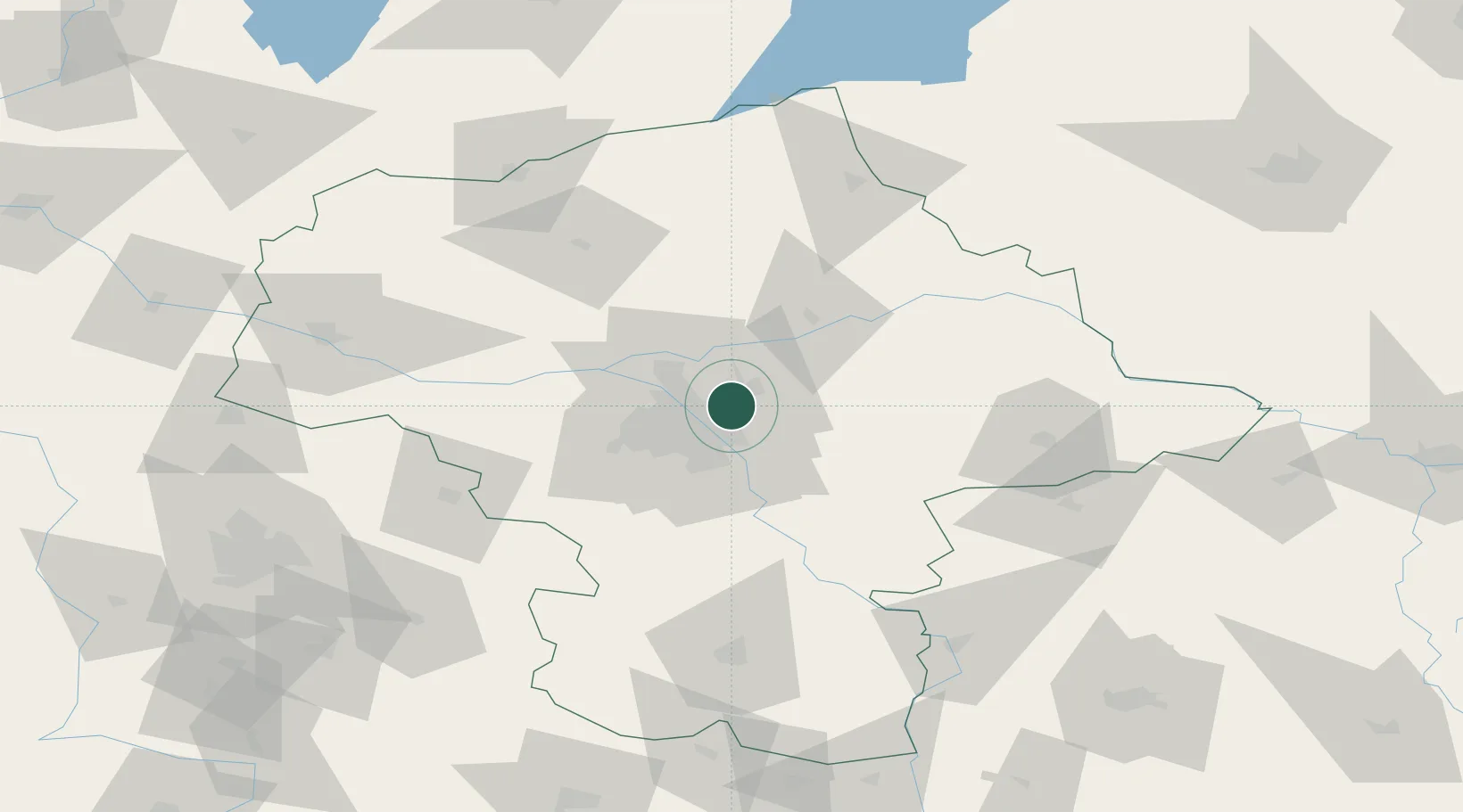
Place type
Populated place
Region
Mazovia
Population
17,518
Time zone
Europe/Warsaw
Elevation
90 m
Location
Nearby Logistics Neighbours
Cities
- 1Sulejówek11 km
- 2Duczki12 km
- 3Wólka Radzyminska13 km
- 4Radzymin16 km
- 5Nieporet16 km
Ports
- 1Kaliningrad271 km
- 2Baltiysk272 km
- 3Gdansk281 km
- 4Nowy Port287 km
- 5Gdynia302 km
Airports
- 1Warsaw Chopin Airport19 km
- 2Minsk Mazowiecki Military Air Base36 km
- 3Warsaw Modlin Airport38 km
- 4Deblin Military Air Base98 km
- 5Warsaw Radom Airport101 km
Trade Zones
DatabookThe Record of Consolidated Knowledge
Poland beyond logistics?