Transport Functions
Multimodal
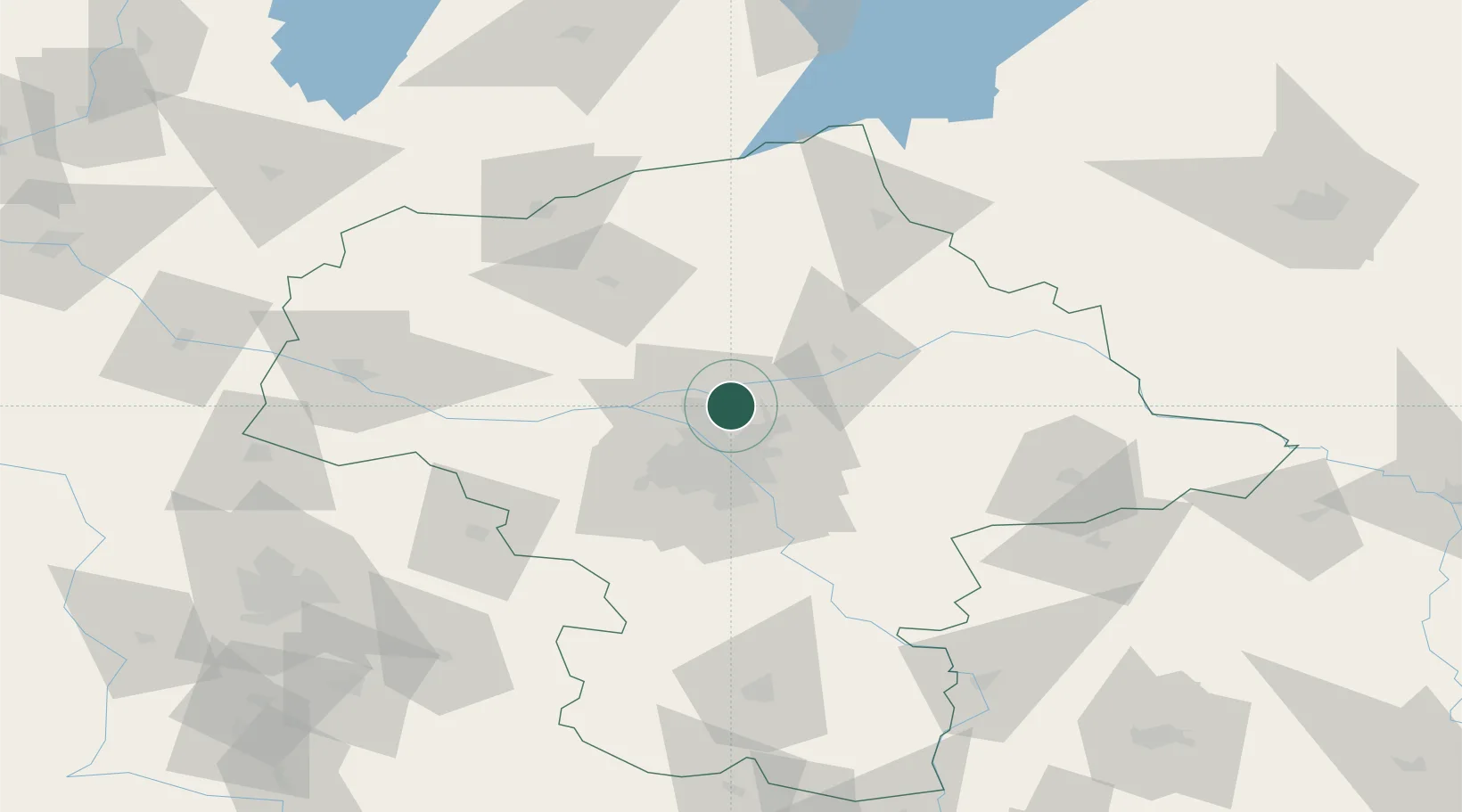
Hub Profile
Place type
District seat
Region
Mazovia
Population
3,239
Time zone
Europe/Warsaw
Elevation
76 m
Location
Nearby Logistics Neighbours
Cities
- 1Radzymin1 km
- 2Wólka Radzyminska4 km
- 3Legionowo10 km
- 4Zielonka16 km
- 5Duczki18 km
Ports
- 1Kaliningrad255 km
- 2Baltiysk256 km
- 3Gdansk265 km
- 4Nowy Port271 km
- 5Gdynia286 km
Airports
Trade Zones
DatabookThe Record of Consolidated Knowledge
Poland beyond logistics?