Transport Functions
Port
Road
Hub Profile
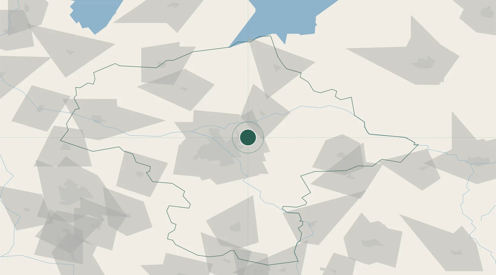
Place type
Populated place
Region
Mazovia
Population
2,500
Time zone
Europe/Warsaw
Elevation
97 m
Location
Nearby Logistics Neighbours
Cities
- 1Zielonka12 km
- 2Sulejówek13 km
- 3Wólka Radzyminska14 km
- 4Radzymin17 km
- 5Nieporet18 km
Ports
- 1Kaliningrad265 km
- 2Baltiysk268 km
- 3Gdansk281 km
- 4Nowy Port286 km
- 5Gdynia301 km
Airports
- 1Warsaw Chopin Airport31 km
- 2Minsk Mazowiecki Military Air Base32 km
- 3Warsaw Modlin Airport44 km
- 4Deblin Military Air Base100 km
- 5Warsaw Radom Airport109 km
Trade Zones
DatabookThe Record of Consolidated Knowledge
Poland beyond logistics?