Transport Functions
Rail
Road
Hub Profile
Place type
District seat
Region
Mazovia
Population
8,818
Time zone
Europe/Warsaw
Elevation
90 m
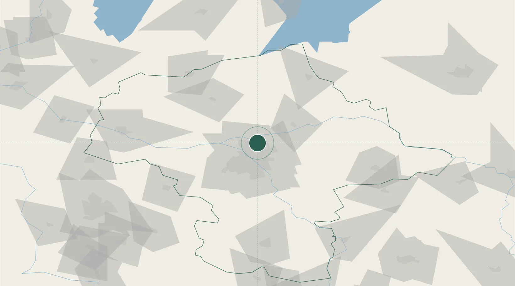
Location
Nearby Logistics Neighbours
Cities
- 1Nieporet1 km
- 2Wólka Radzyminska3 km
- 3Legionowo11 km
- 4Zielonka16 km
- 5Duczki17 km
Ports
- 1Kaliningrad255 km
- 2Baltiysk257 km
- 3Gdansk266 km
- 4Nowy Port272 km
- 5Gdynia287 km
Airports
Trade Zones
DatabookThe Record of Consolidated Knowledge
Poland beyond logistics?