Transport Functions
Rail
Road
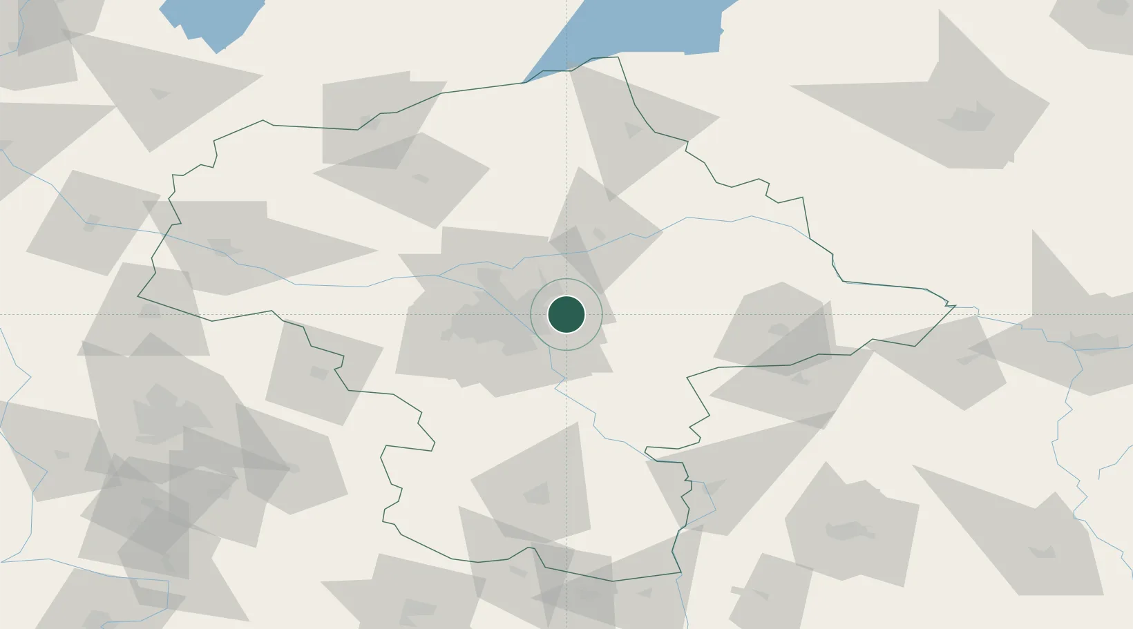
Hub Profile
Place type
District seat
Region
Mazovia
Population
18,414
Time zone
Europe/Warsaw
Elevation
104 m
Location
Nearby Logistics Neighbours
Cities
- 1Zielonka11 km
- 2Duczki13 km
- 3Otwock17 km
- 4Karczew19 km
- 5Minsk Mazowiecki21 km
Ports
- 1Kaliningrad278 km
- 2Baltiysk280 km
- 3Gdansk291 km
- 4Nowy Port297 km
- 5Gdynia312 km
Airports
- 1Warsaw Chopin Airport24 km
- 2Minsk Mazowiecki Military Air Base26 km
- 3Warsaw Modlin Airport48 km
- 4Deblin Military Air Base88 km
- 5Warsaw Radom Airport96 km
Trade Zones
DatabookThe Record of Consolidated Knowledge
Poland beyond logistics?