Transport Functions
Rail
Road
Hub Profile
Place type
Populated place
Region
Mazovia
Time zone
Europe/Warsaw
Elevation
79 m
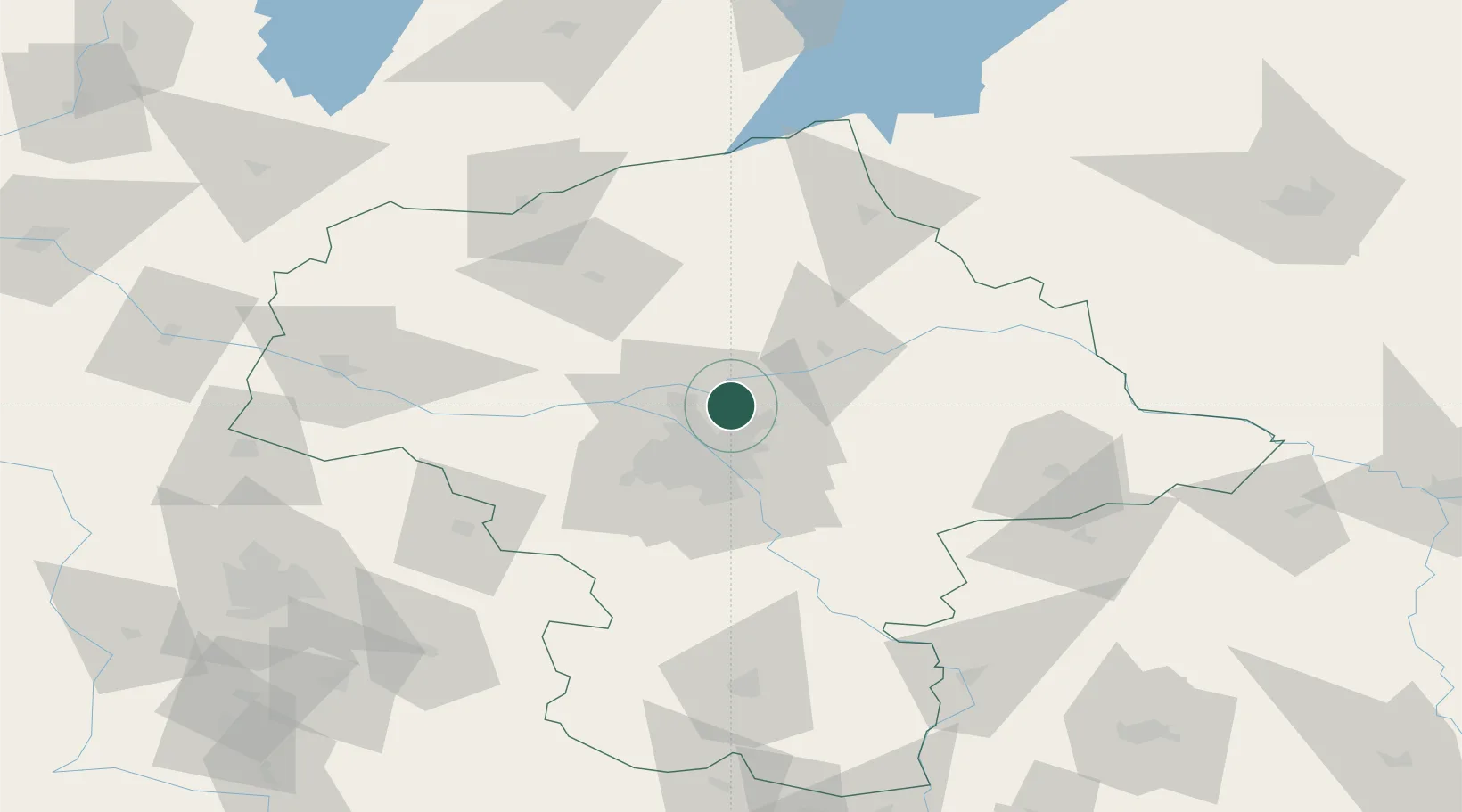
Location
Nearby Logistics Neighbours
Ports
- 1Kaliningrad257 km
- 2Baltiysk259 km
- 3Gdansk269 km
- 4Nowy Port275 km
- 5Gdynia290 km
Airports
- 1Warsaw Chopin Airport29 km
- 2Warsaw Modlin Airport31 km
- 3Minsk Mazowiecki Military Air Base45 km
- 4Deblin Military Air Base111 km
- 5Warsaw Radom Airport115 km
Trade Zones
DatabookThe Record of Consolidated Knowledge
Poland beyond logistics?