Transport Functions
Rail
Road
Hub Profile
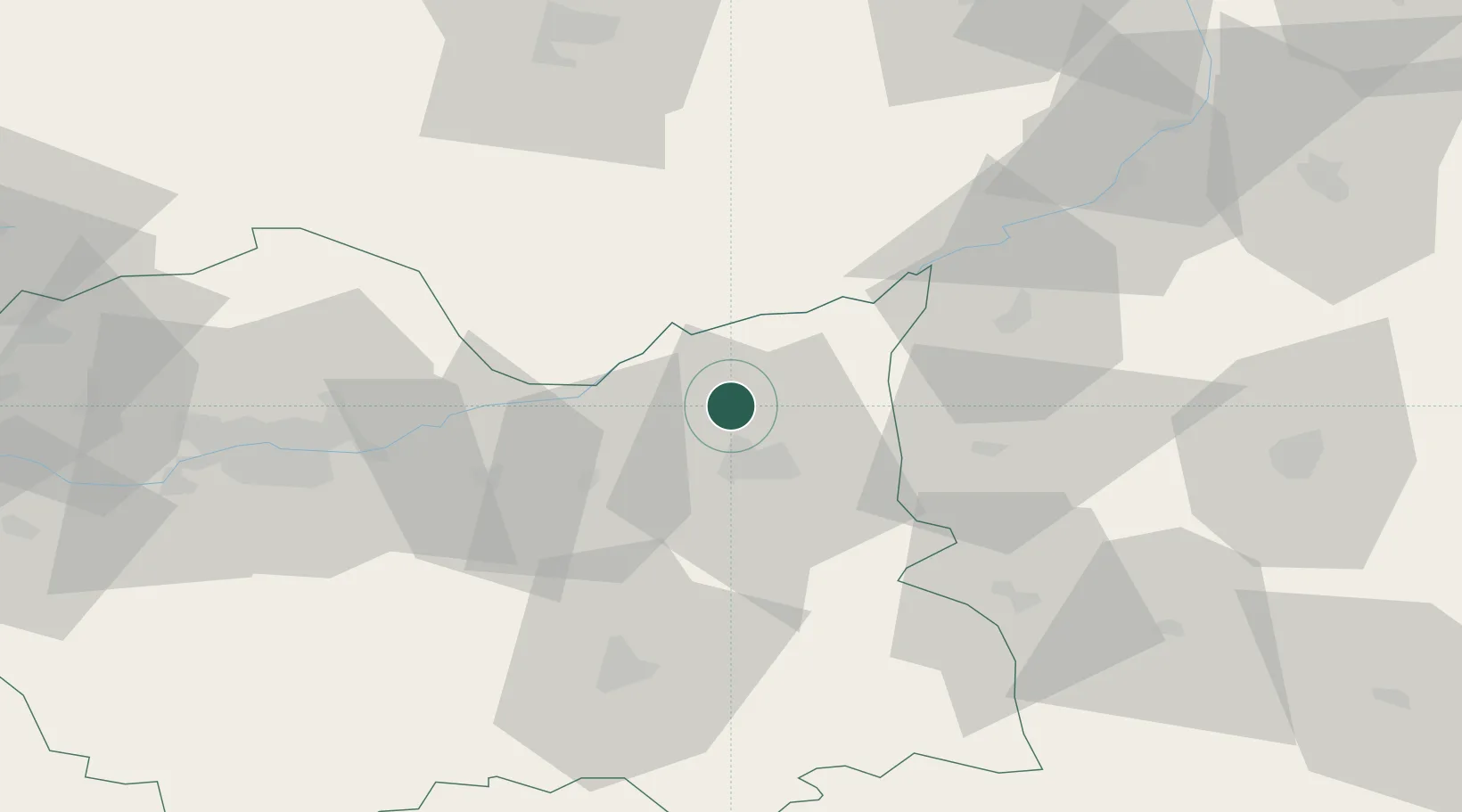
Place type
District seat
Region
Lesser Poland
Population
4,250
Time zone
Europe/Warsaw
Elevation
186 m
Location
Nearby Logistics Neighbours
Cities
- 1Leg Tarnowski6 km
- 2Dabrowa Tarnowska8 km
- 3Swiebodzin15 km
- 4Zbylitowska Gora17 km
- 5Wojnicz19 km
Ports
- 1Gdansk493 km
- 2Nowy Port500 km
- 3Baltiysk505 km
- 4Kaliningrad509 km
- 5Gdynia515 km
Airports
Trade Zones
DatabookThe Record of Consolidated Knowledge
Poland beyond logistics?