Transport Functions
Multimodal
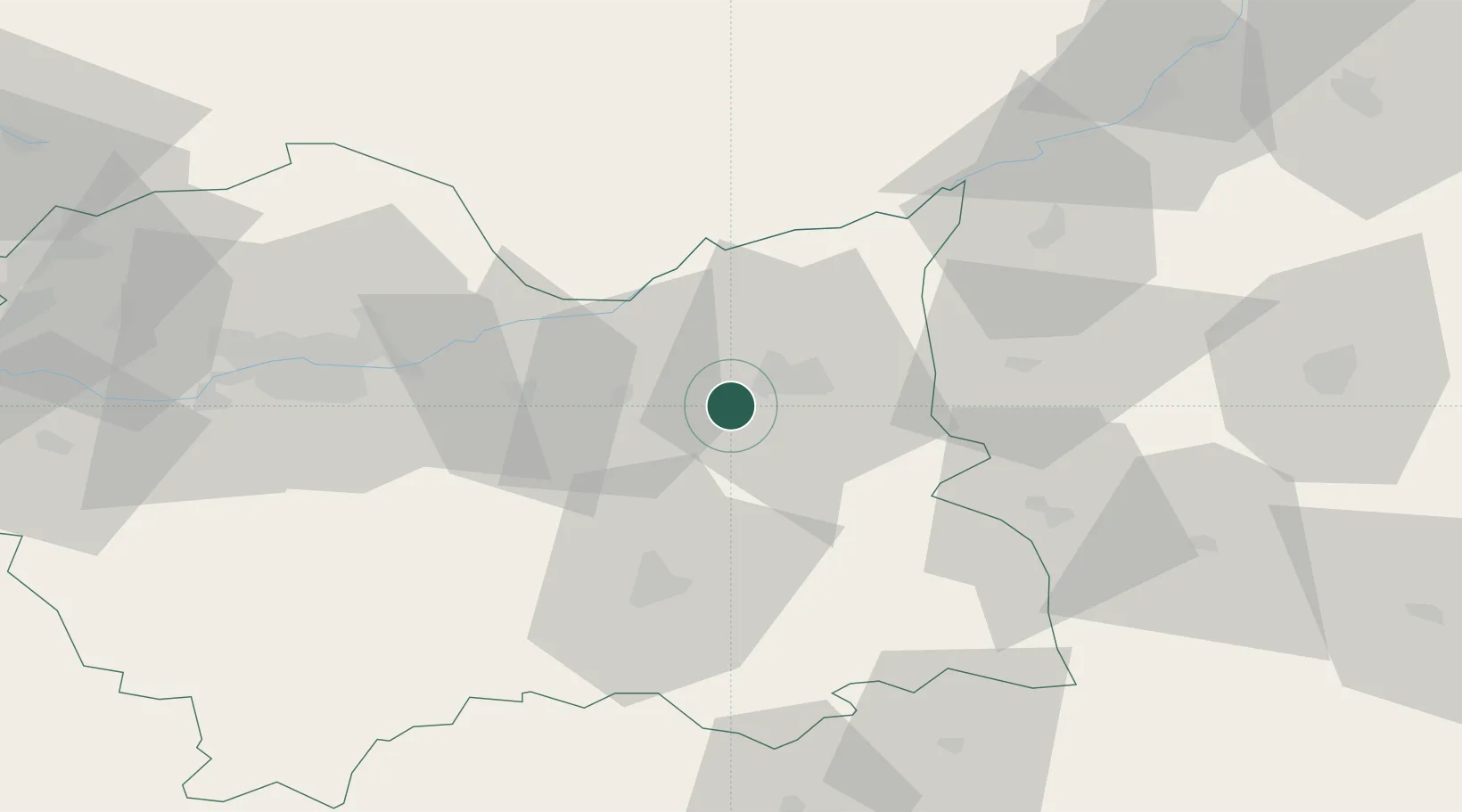
Hub Profile
Place type
District seat
Region
Lesser Poland
Population
3,509
Time zone
Europe/Warsaw
Elevation
203 m
Location
Nearby Logistics Neighbours
Cities
- 1Zbylitowska Gora6 km
- 2Leg Tarnowski14 km
- 3Okocim16 km
- 4Zabno19 km
- 5Ciezkowice23 km
Ports
- 1Gdansk509 km
- 2Nowy Port516 km
- 3Baltiysk523 km
- 4Kaliningrad527 km
- 5Gdynia531 km
Airports
Trade Zones
DatabookThe Record of Consolidated Knowledge
Poland beyond logistics?