Transport Functions
Rail
Road
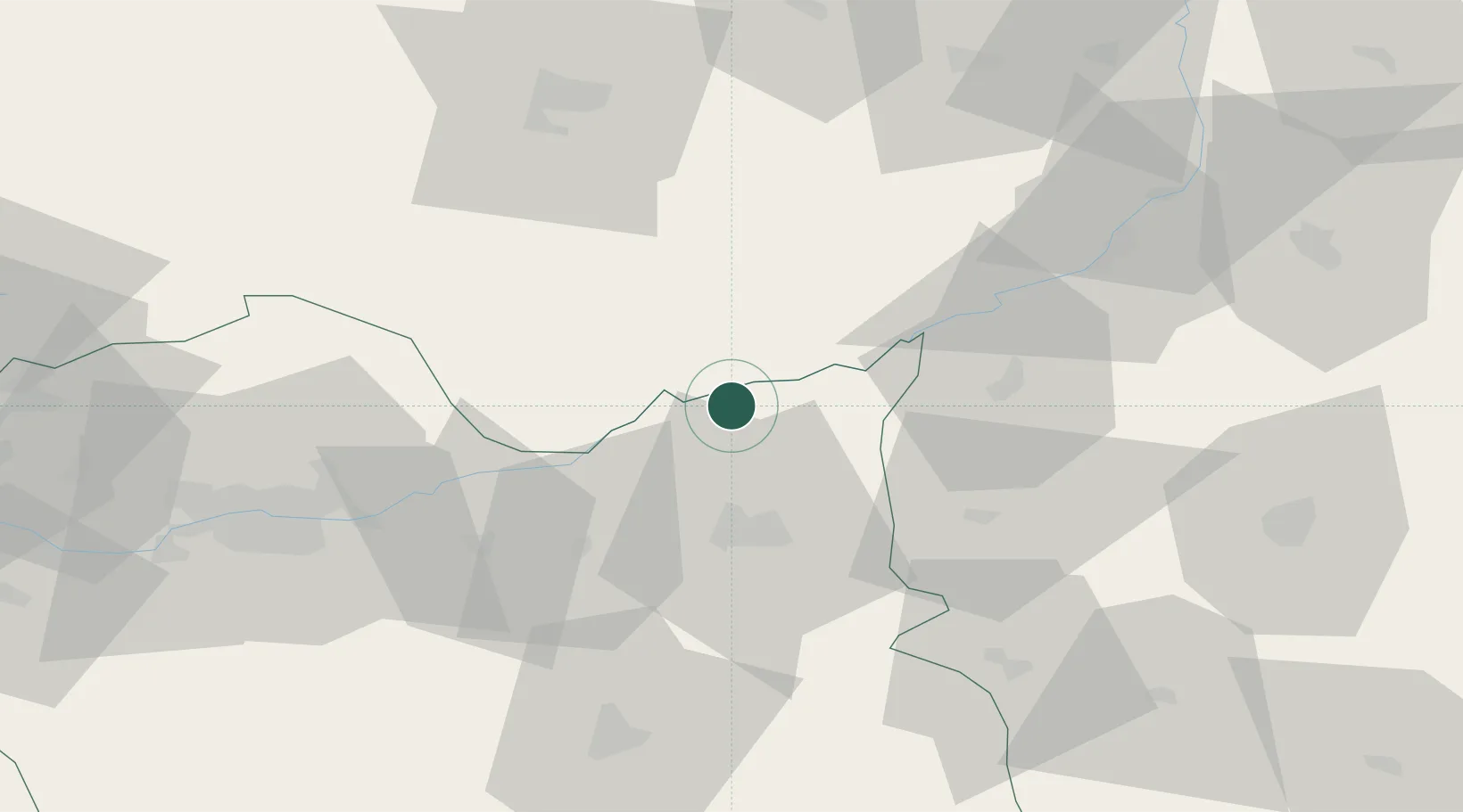
Hub Profile
Place type
Populated place
Region
Lesser Poland
Population
300
Time zone
Europe/Warsaw
Elevation
167 m
Location
Nearby Logistics Neighbours
Cities
- 1Solec-Zdrój11 km
- 2Dabrowa Tarnowska13 km
- 3Zabno15 km
- 4Leg Tarnowski20 km
- 5Busko-Zdrój26 km
Ports
- 1Gdansk479 km
- 2Nowy Port486 km
- 3Baltiysk490 km
- 4Kaliningrad494 km
- 5Gdynia501 km
Airports
Trade Zones
DatabookThe Record of Consolidated Knowledge
Poland beyond logistics?