Transport Functions
Multimodal
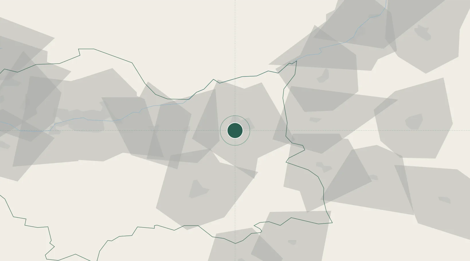
Hub Profile
Place type
Populated place
Region
Lesser Poland
Time zone
Europe/Warsaw
Elevation
223 m
Location
Nearby Logistics Neighbours
Cities
- 1Wojnicz6 km
- 2Leg Tarnowski11 km
- 3Zabno17 km
- 4Dabrowa Tarnowska21 km
- 5Okocim22 km
Ports
- 1Gdansk509 km
- 2Nowy Port516 km
- 3Baltiysk522 km
- 4Kaliningrad525 km
- 5Gdynia531 km
Airports
Trade Zones
DatabookThe Record of Consolidated Knowledge
Poland beyond logistics?