UN/LOCODE hub · Poland
PLDAT
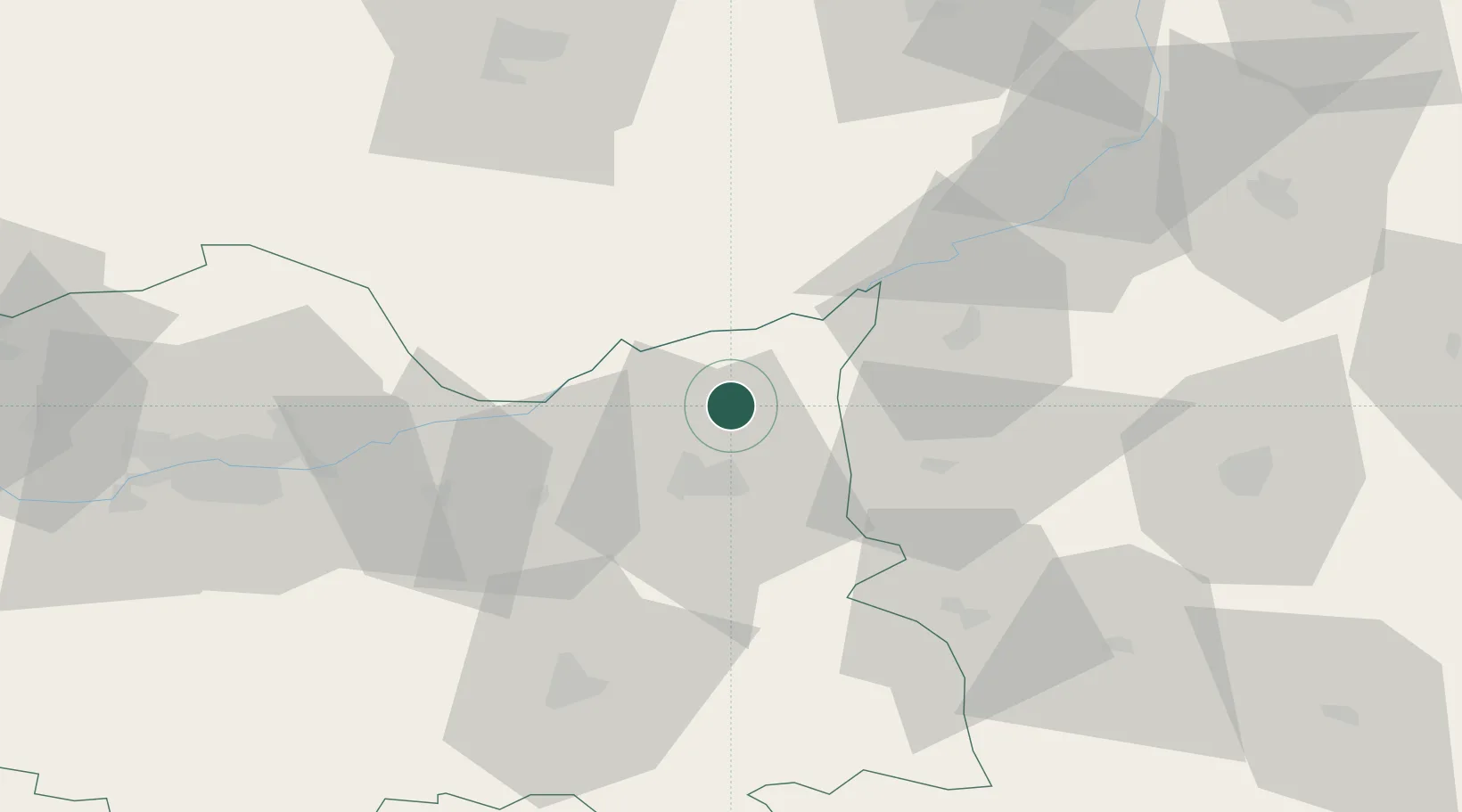
Dabrowa Tarnowska
50.1667°, 21.0000°
11,291
Population
2
Transport functions
Transport Functions
Rail
Road
Hub Profile
Place type
Provincial seat
Region
Lesser Poland
Population
11,291
Time zone
Europe/Warsaw
Elevation
208 m
Location
Nearby Logistics Neighbours
Cities
- 1Zabno8 km
- 2Leg Tarnowski11 km
- 3Swiebodzin13 km
- 4Partynia21 km
- 5Zbylitowska Gora21 km
Ports
- 1Gdansk492 km
- 2Nowy Port498 km
- 3Baltiysk502 km
- 4Kaliningrad505 km
- 5Gdynia513 km
Airports
Trade Zones
DatabookThe Record of Consolidated Knowledge
Poland beyond logistics?