Transport Functions
Rail
Road
Hub Profile
Place type
Populated place
Region
Lesser Poland
Time zone
Europe/Warsaw
Elevation
183 m
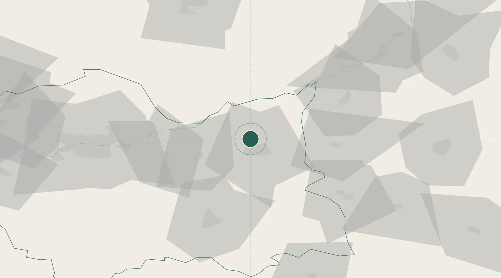
Location
Nearby Logistics Neighbours
Cities
- 1Zabno6 km
- 2Dabrowa Tarnowska11 km
- 3Zbylitowska Gora11 km
- 4Wojnicz14 km
- 5Swiebodzin20 km
Ports
- 1Gdansk499 km
- 2Nowy Port506 km
- 3Baltiysk511 km
- 4Kaliningrad514 km
- 5Gdynia520 km
Airports
Trade Zones
DatabookThe Record of Consolidated Knowledge
Poland beyond logistics?